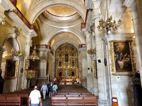
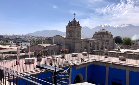
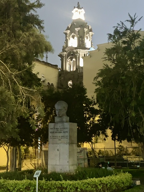
A very rough overnight bus took us from Puno to Arequipa, the second largest city in Peru. A UNESCO city surrounded by 3 important volcanoes and the access city to the Colca Canyon (2nd deepest in the world and prime viewing for Andean condors). Unfortunately, in the evening prior to the bus departure, we both came down with colds, and M’s version was bronchitis. By the time we arrived in Arequipa, our plans were scuttled in favour of recovery given the big trek coming up. M never left the apartment while S found medications and was able to take in a walking tour.
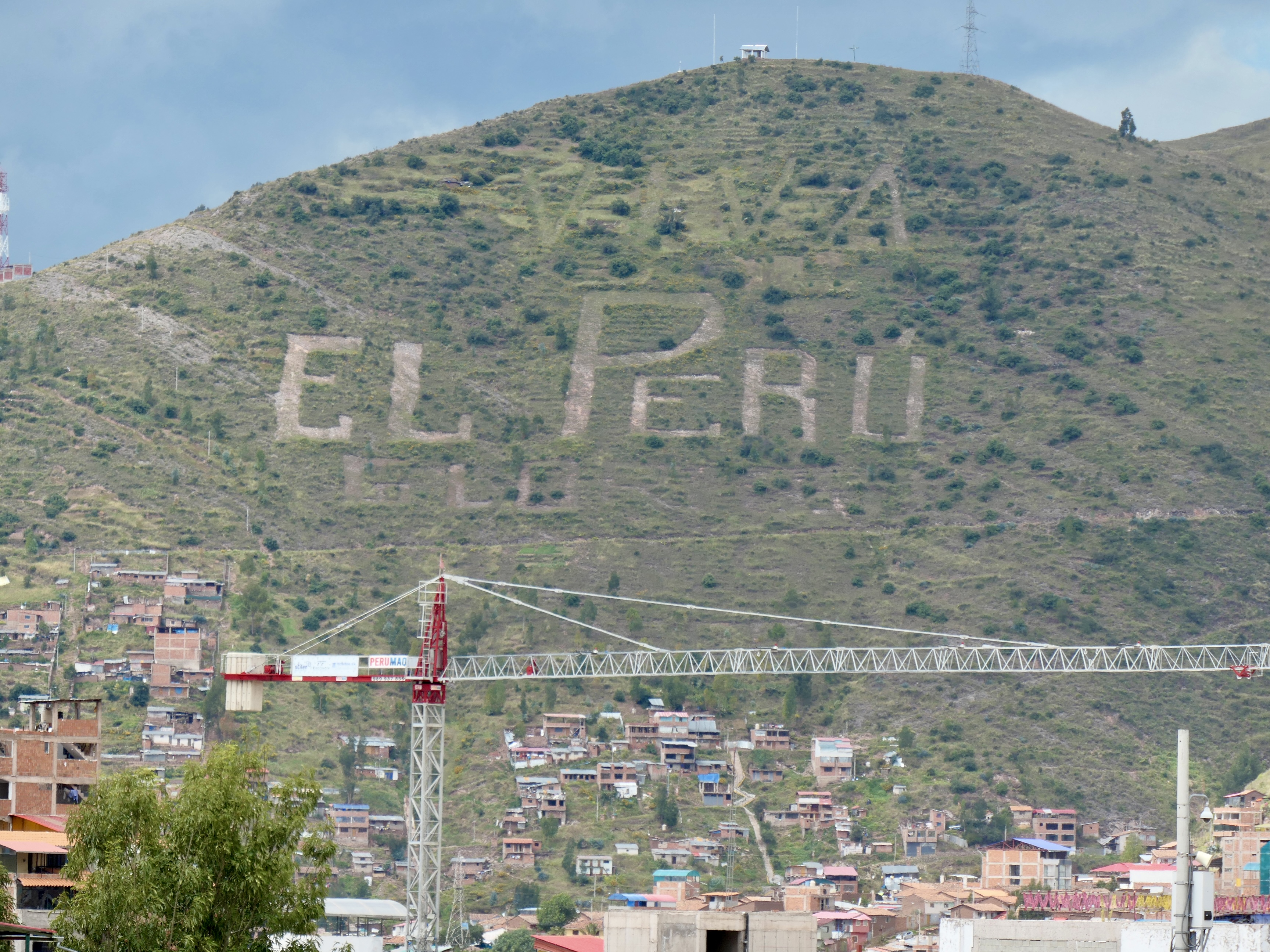
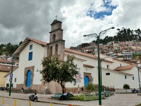
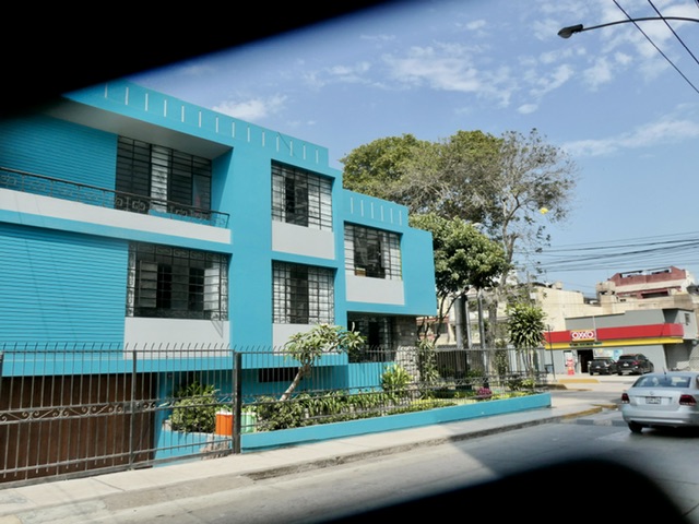
The city has a rich history, as does Peru in general, but is exceptional in how frequently its physical structures have been affected by earthquakes; with hundreds recorded in the past 400 years alone (with 5 or 6 over 8 on Richter scale), enough to demolish even the sturdiest buildings and cause considerable loss of life. The most recent earthquake was June 23, 2001 @ 8.4 Richter. [*Sidenote: the Incans never built here, preferring the hillsides. It was the Spanish who decided to build in an earthquake-prone valley] While earlier earthquakes resulted in necessarily improved building techniques, such as false staircases and buttresses, recent earthquakes are greeted by the locals as lotteries given the attached UNESCO funding. The guide was also willing to talk about politics (sotto voce, of course) which was evident when asked about the rallies and demonstrations that are a daily occurrence here (and indeed, in most of South America). His explanation was the demonstrations are a response to the general belief that the country is overly dominated by Lima elites who are extracting taxes, royalties, and fees from the secondary cities with doing little to nothing in improving their infrastructure and institutions (labour, education, healthcare, etc.). We would hear a similar story in Cusco, btw. This theme, in one form or another, was heard in all 6 countries we have visited on this trip. Perhaps the same can be said for Canada?
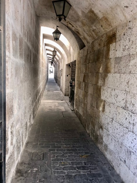
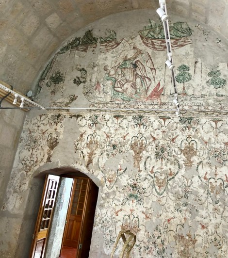
16C service corridors for restaurants
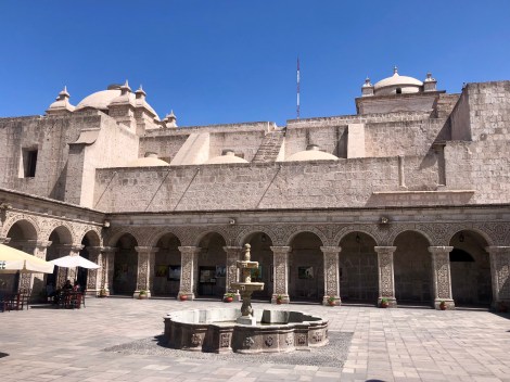
Example of adding new to old
Buttresses in reconstruction
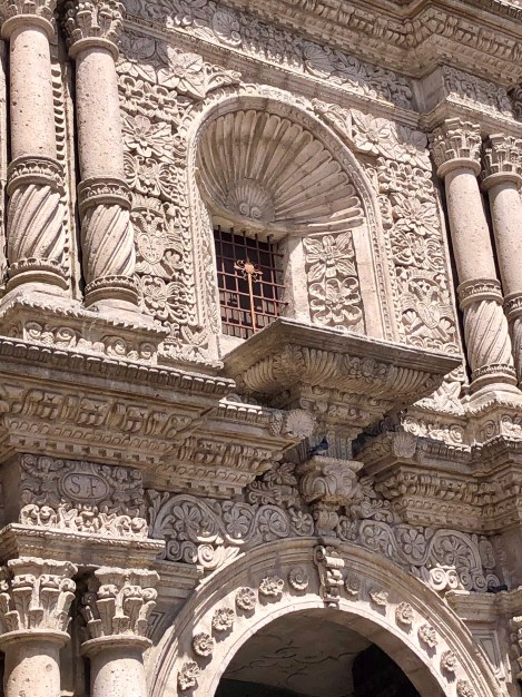
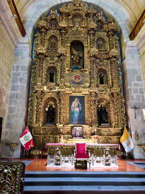
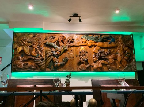
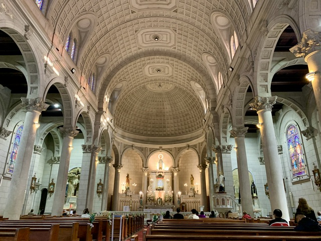
Embedded are symbols of Christianity, pre-Incans & Incan gods, and wealthy European patron families (eg Medicis)
Gold altars represent the sun (not found in Europe)
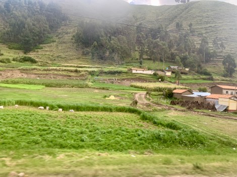
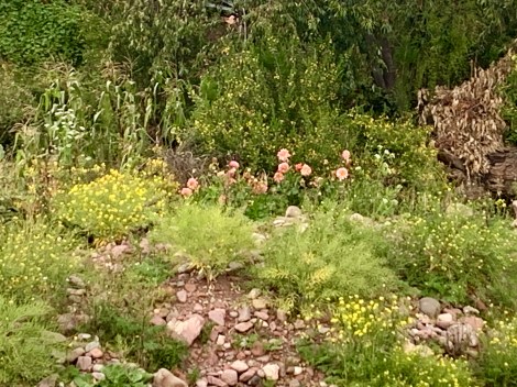
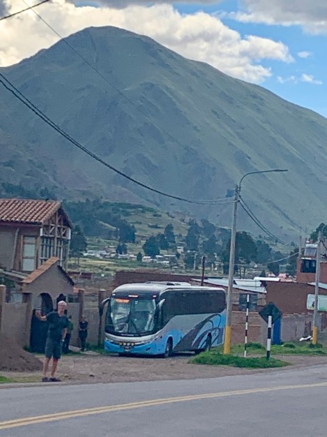
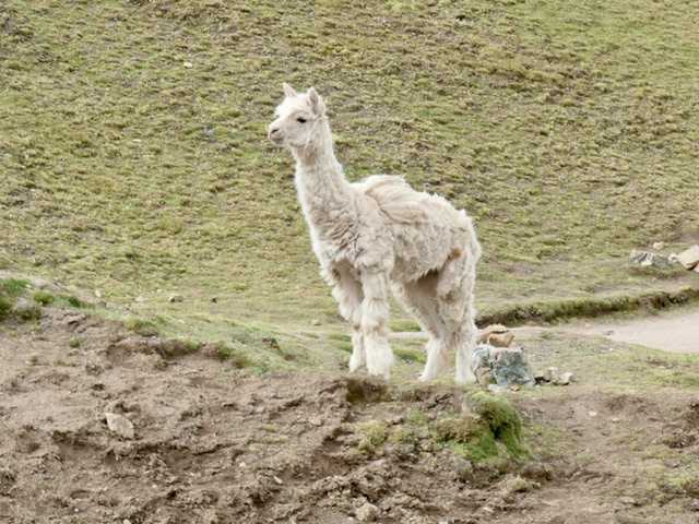
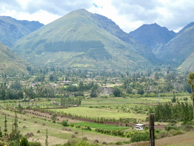
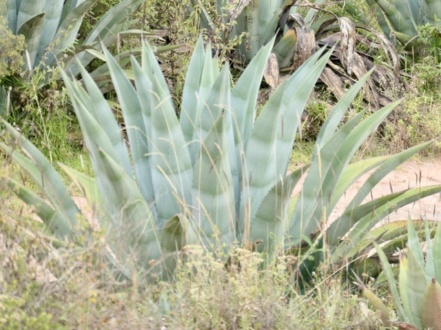
Another long (13-hour) bus took us from Arequipa to Cusco. While the road is rough, with steep ascents out of Arequipa, the valley towards Cusco became progressively more fertile, with many farming towns and beautiful views of the terraces of quinoa, corn, potatoes, and grazing cows, sheep, llamas, and alpacas (and water buffalo).
@4400m
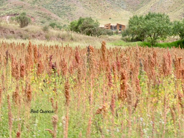
Red quinoa
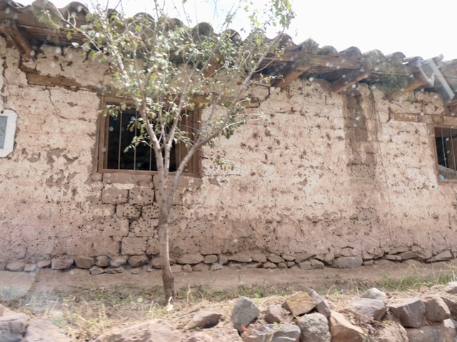
Brick making centre
Maternal & child health centre
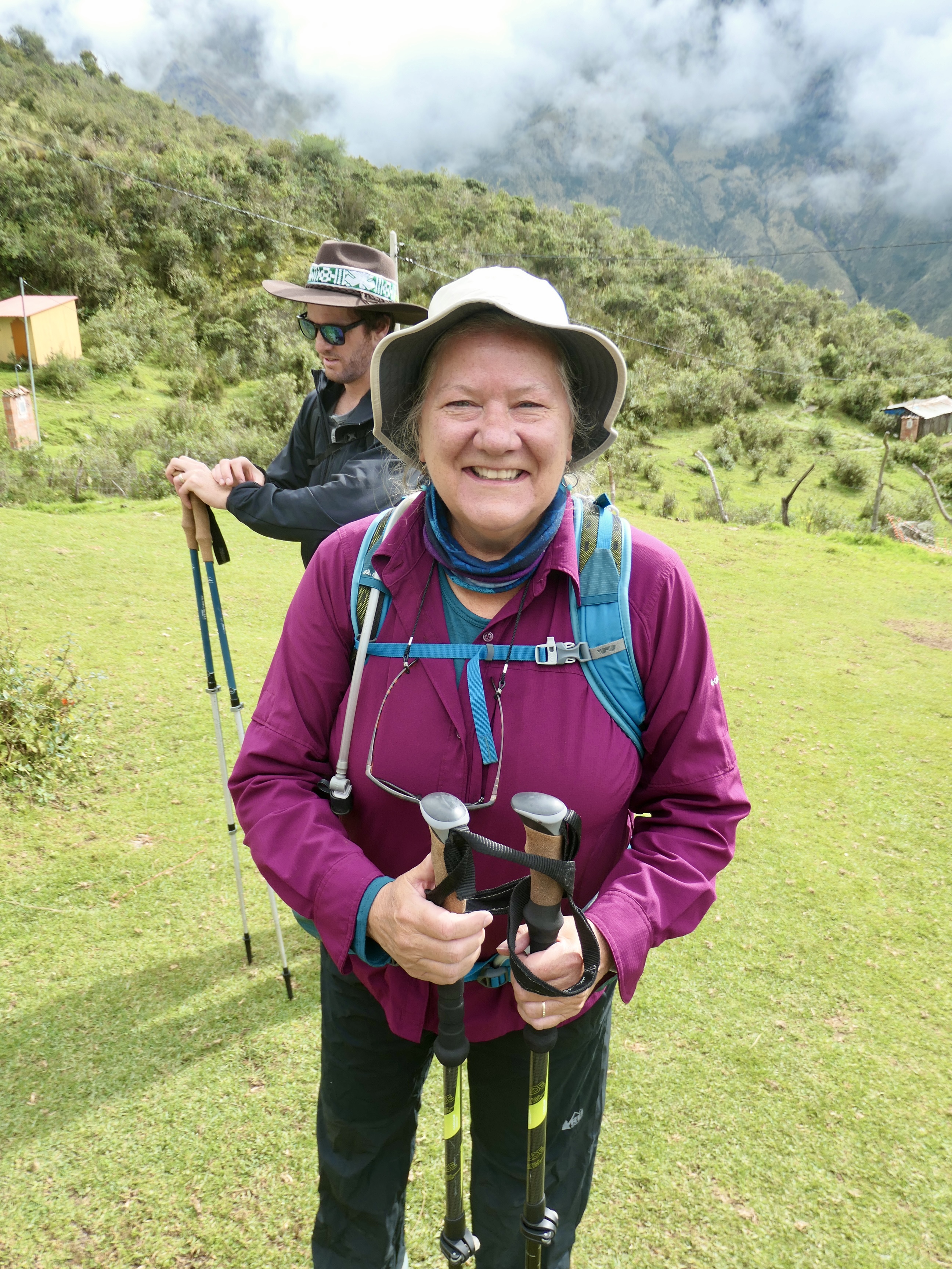
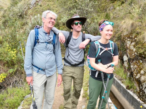
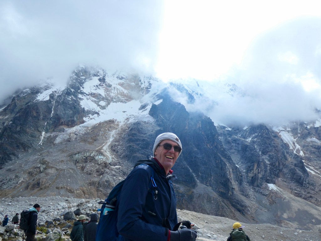
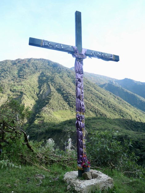
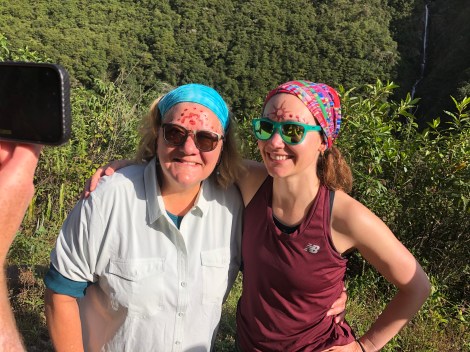
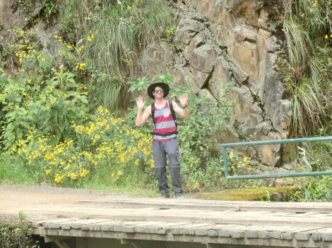
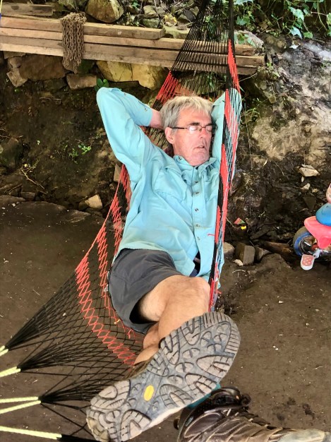
This may have been the moment where we felt at our worst, questioning whether we would be able to do the trek:
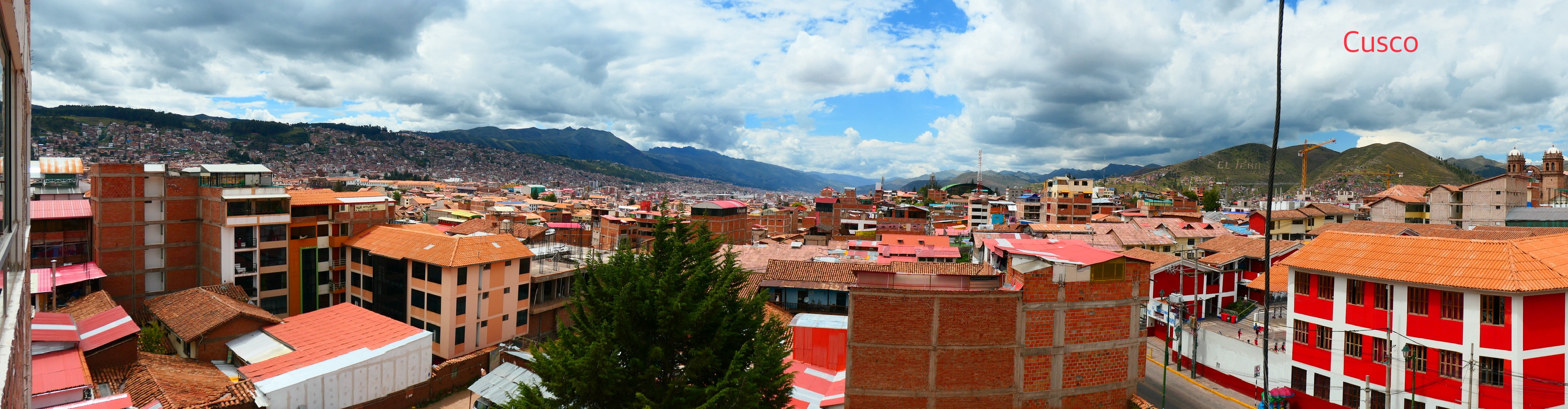
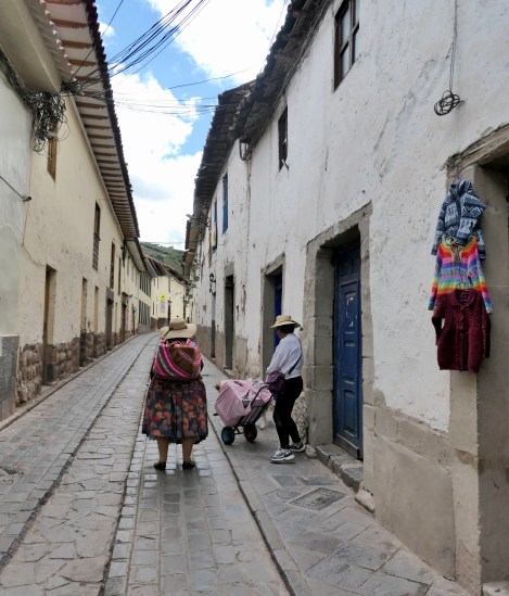
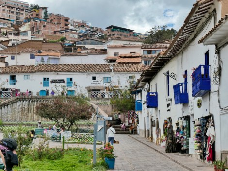
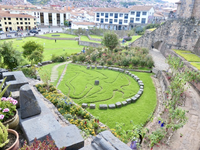
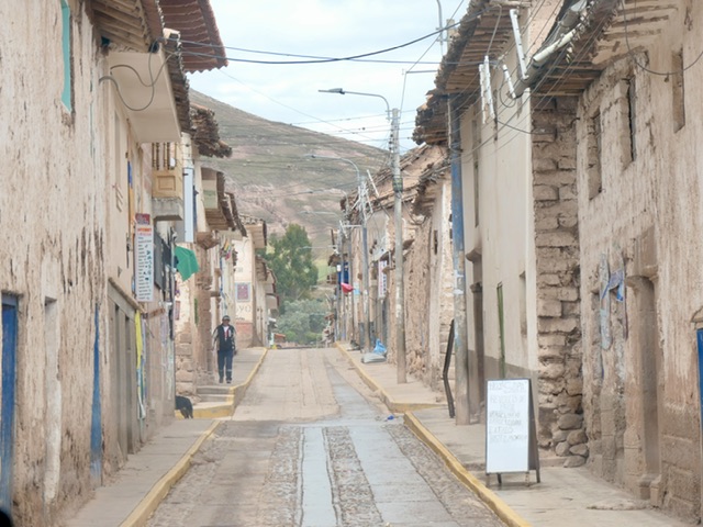
Cusco
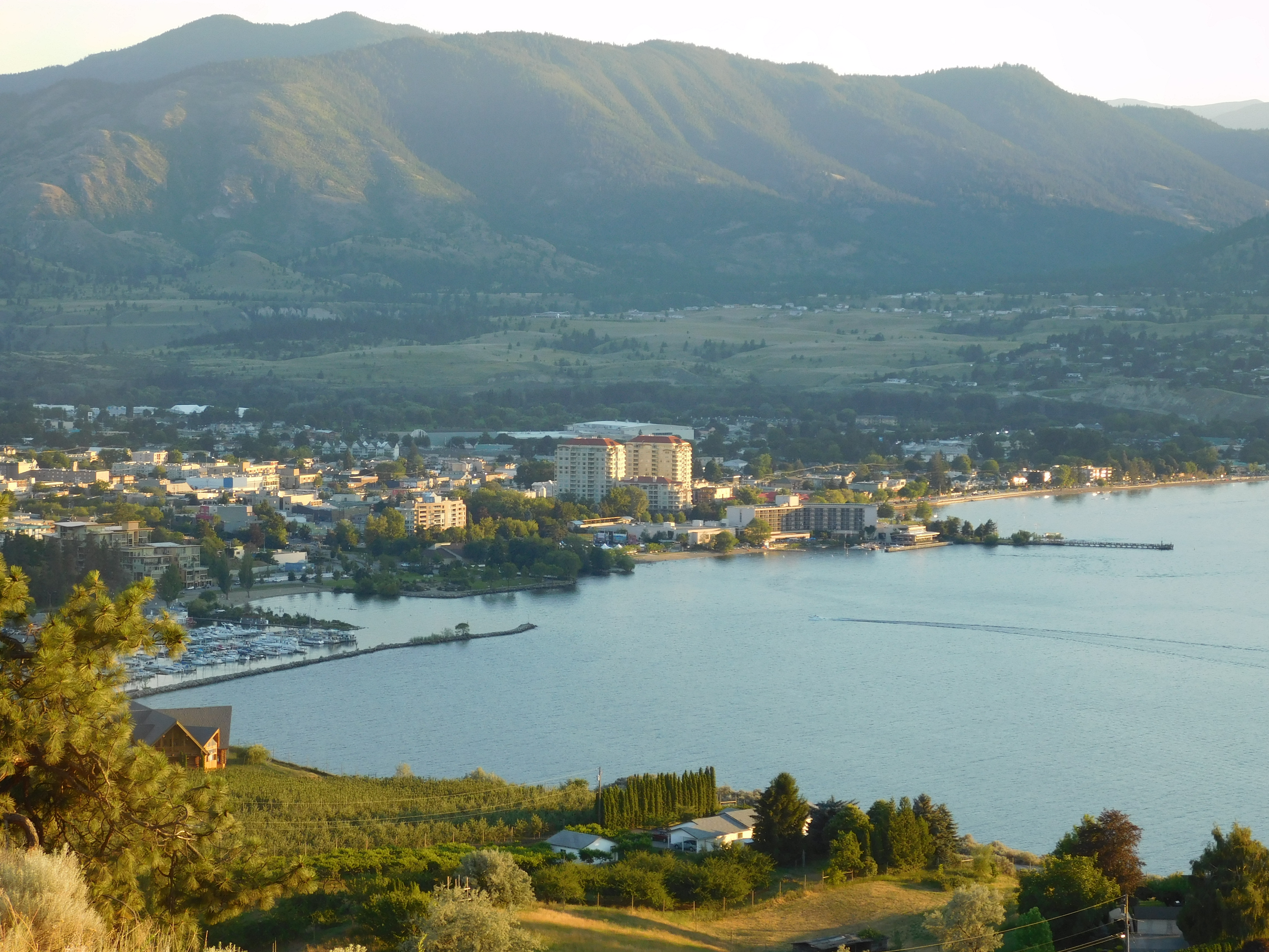
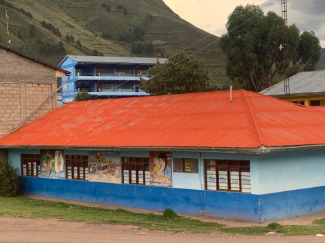
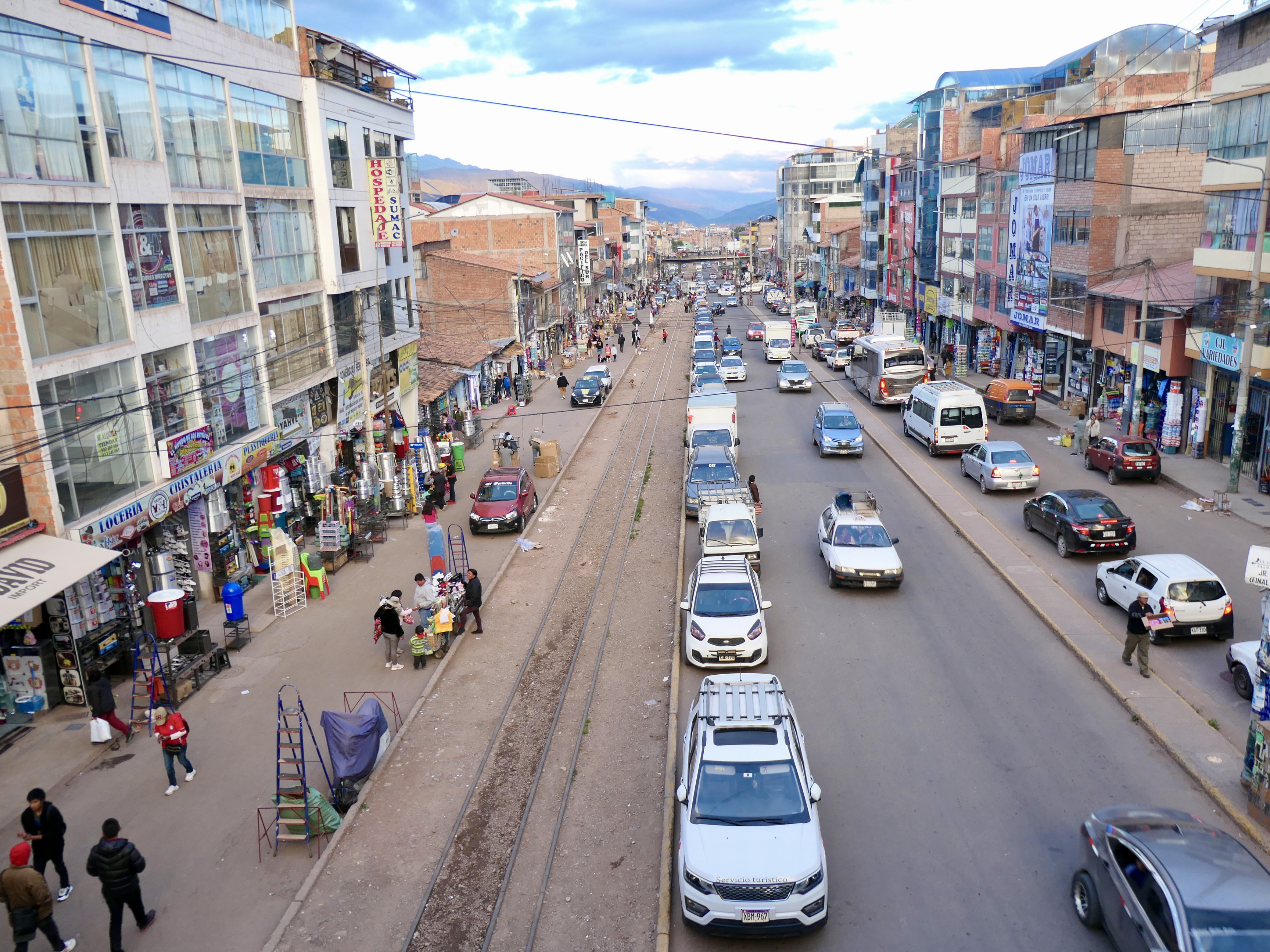
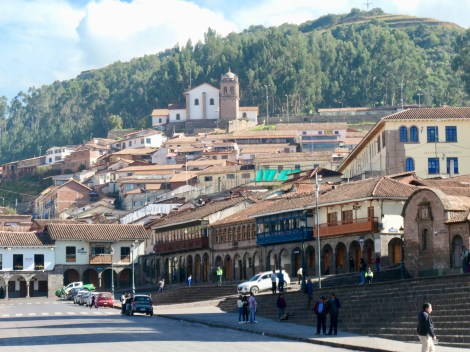
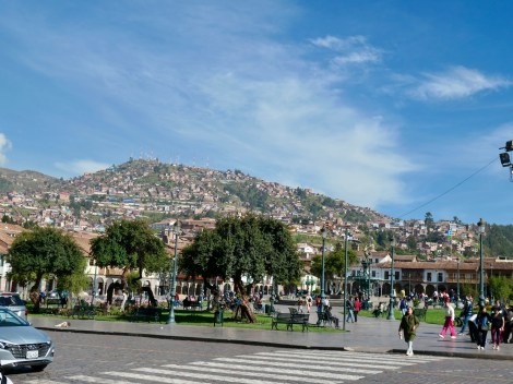
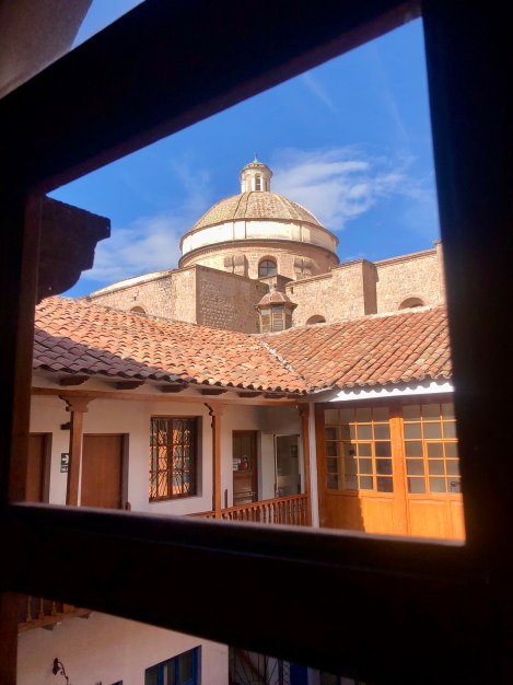
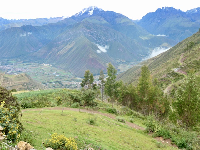
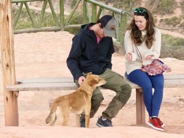
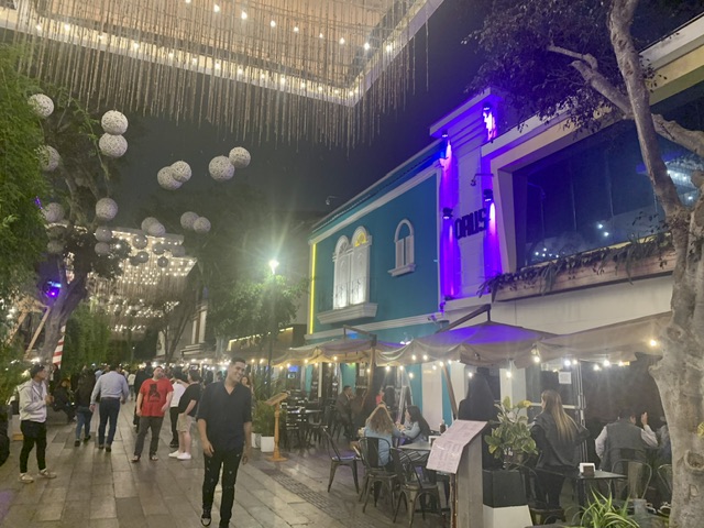
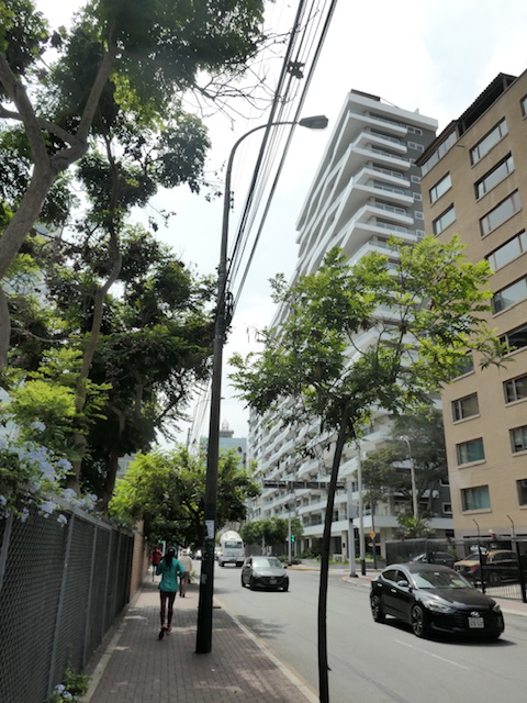
We had five days in Cusco where E & K joined us. As Peru’s 3rd largest city, Cusco has a population of over a million people that are spilling into the hills surrounding Cusco. With one road in, the infrastructure lags and life happens all over the crowded streets. The old centre is a UNESCO site; interesting because the whole area surrounding the city is a series of heritage sites, all central to the Inca empire. We were in an apartment on the 5th floor which, without an elevator, offered us more breathless climbing as well as a view over Cusco (first pic).
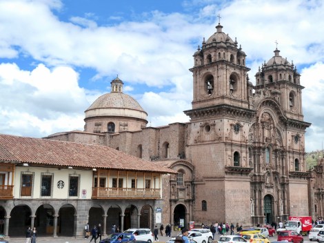
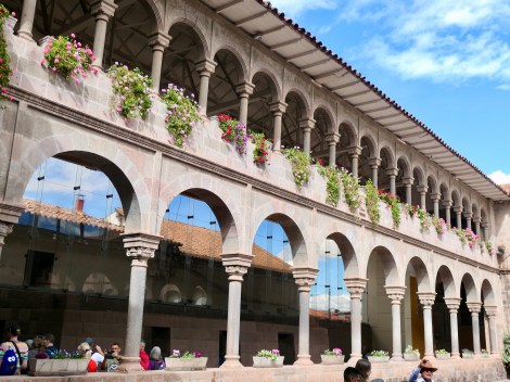
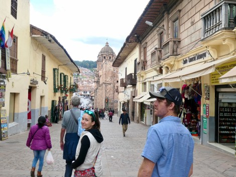
Scenes from Cusco:
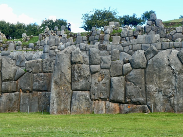
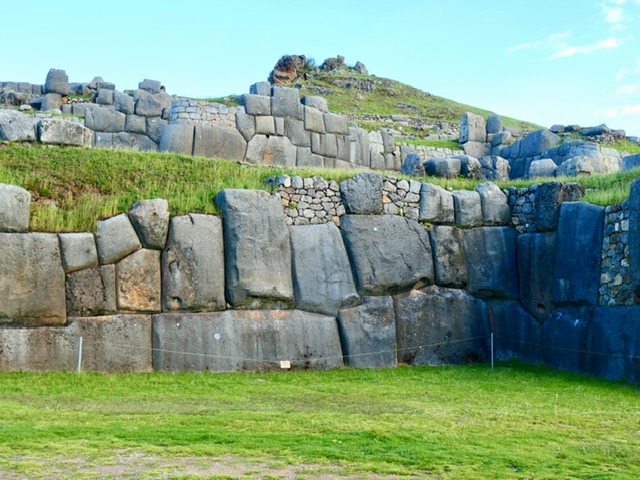
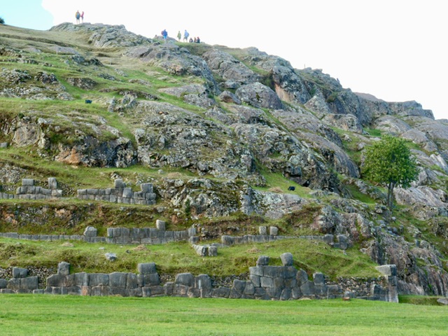
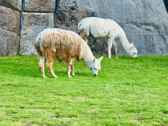
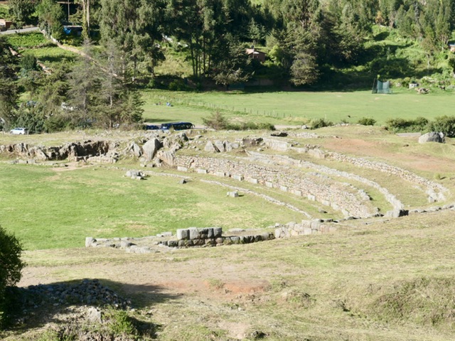
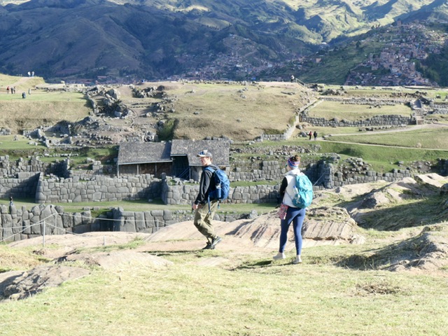
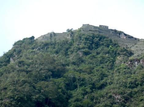
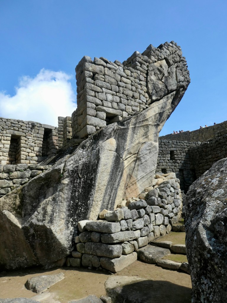
Saqsaywaman
The ruins of a key military complex of the Inca empire, built in 15th Century
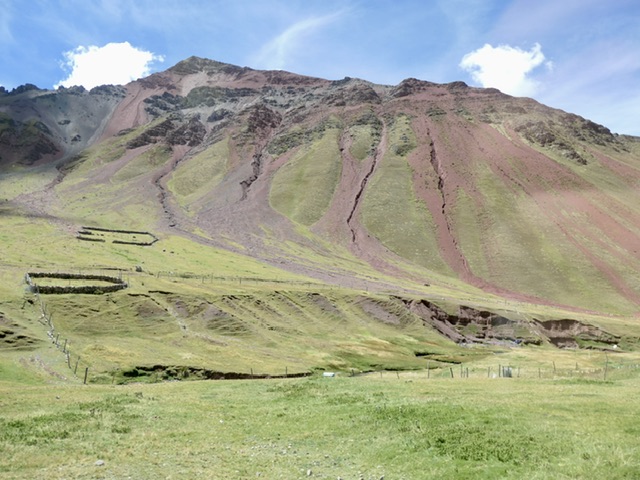
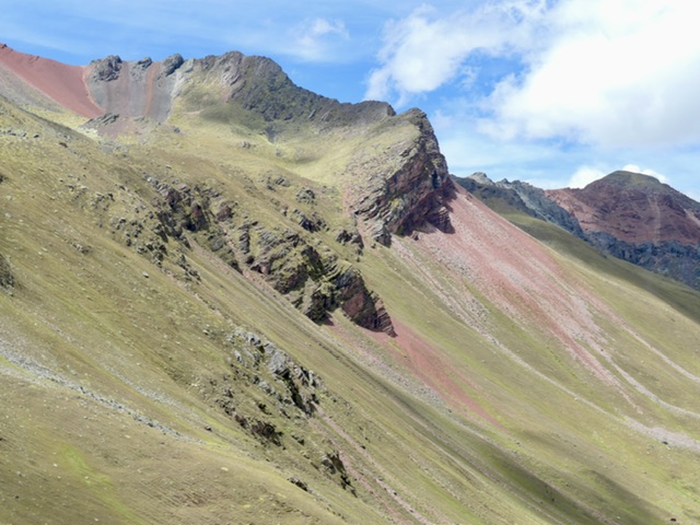
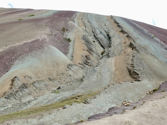
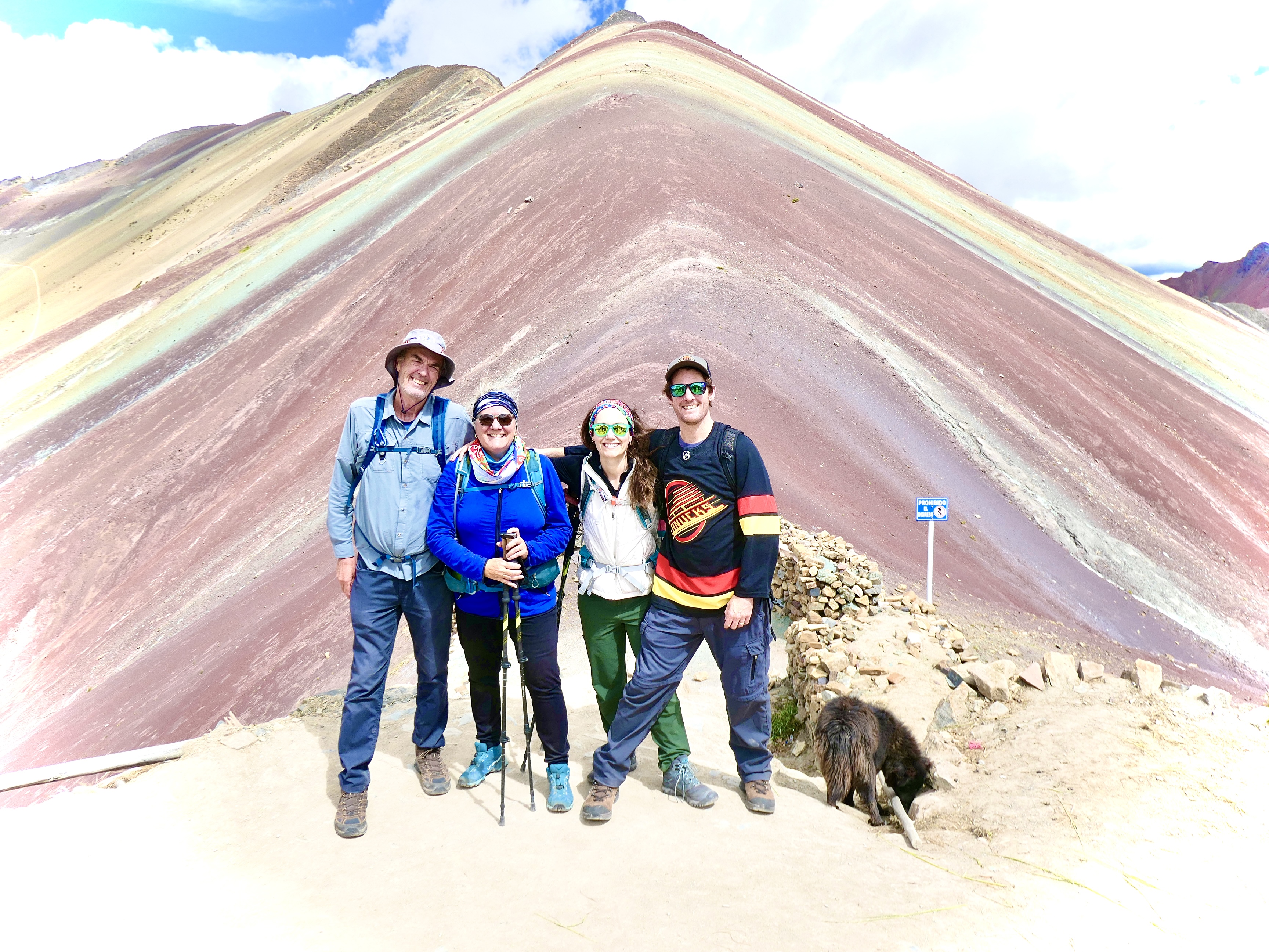
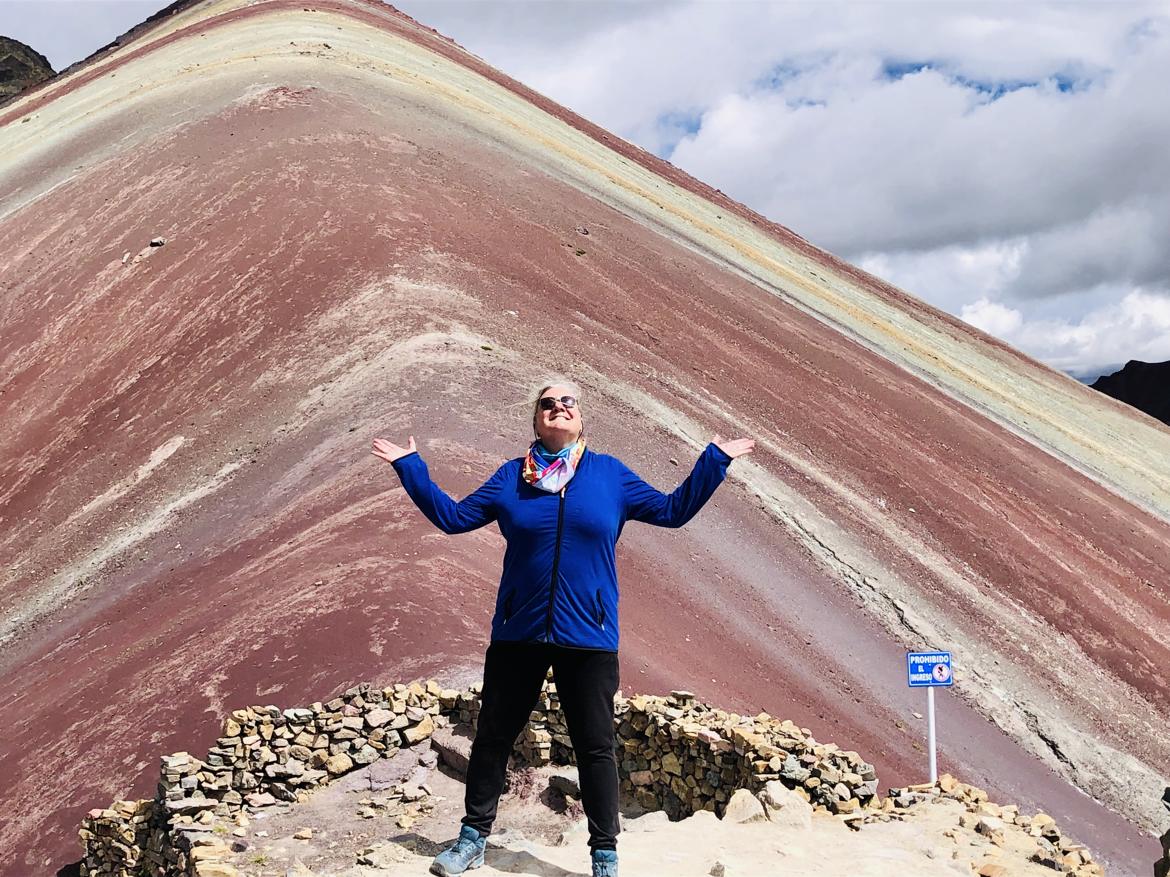
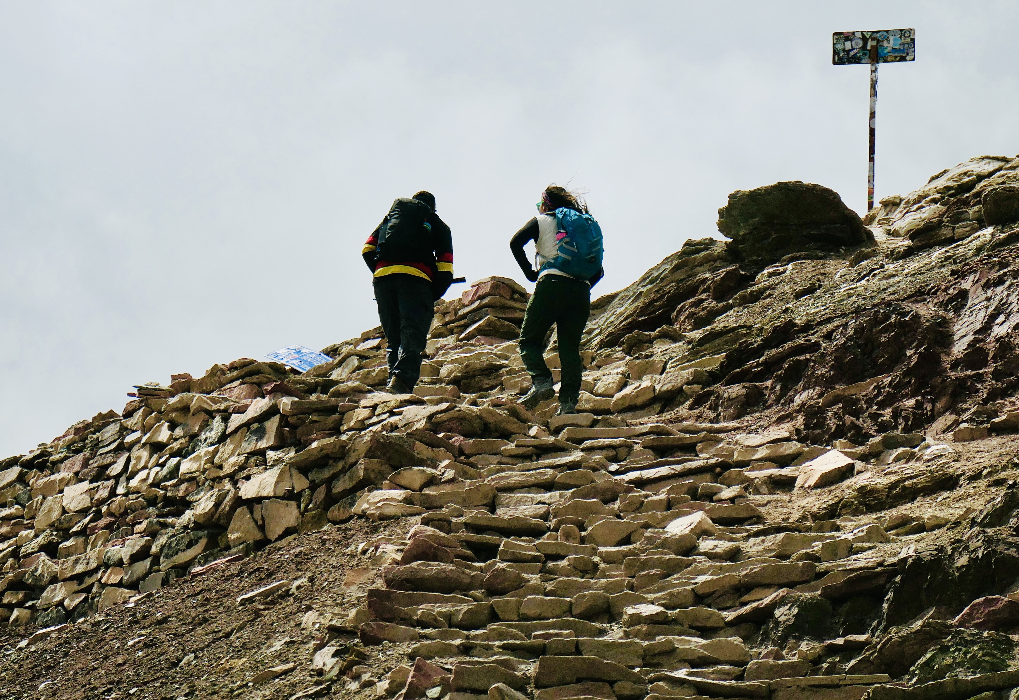
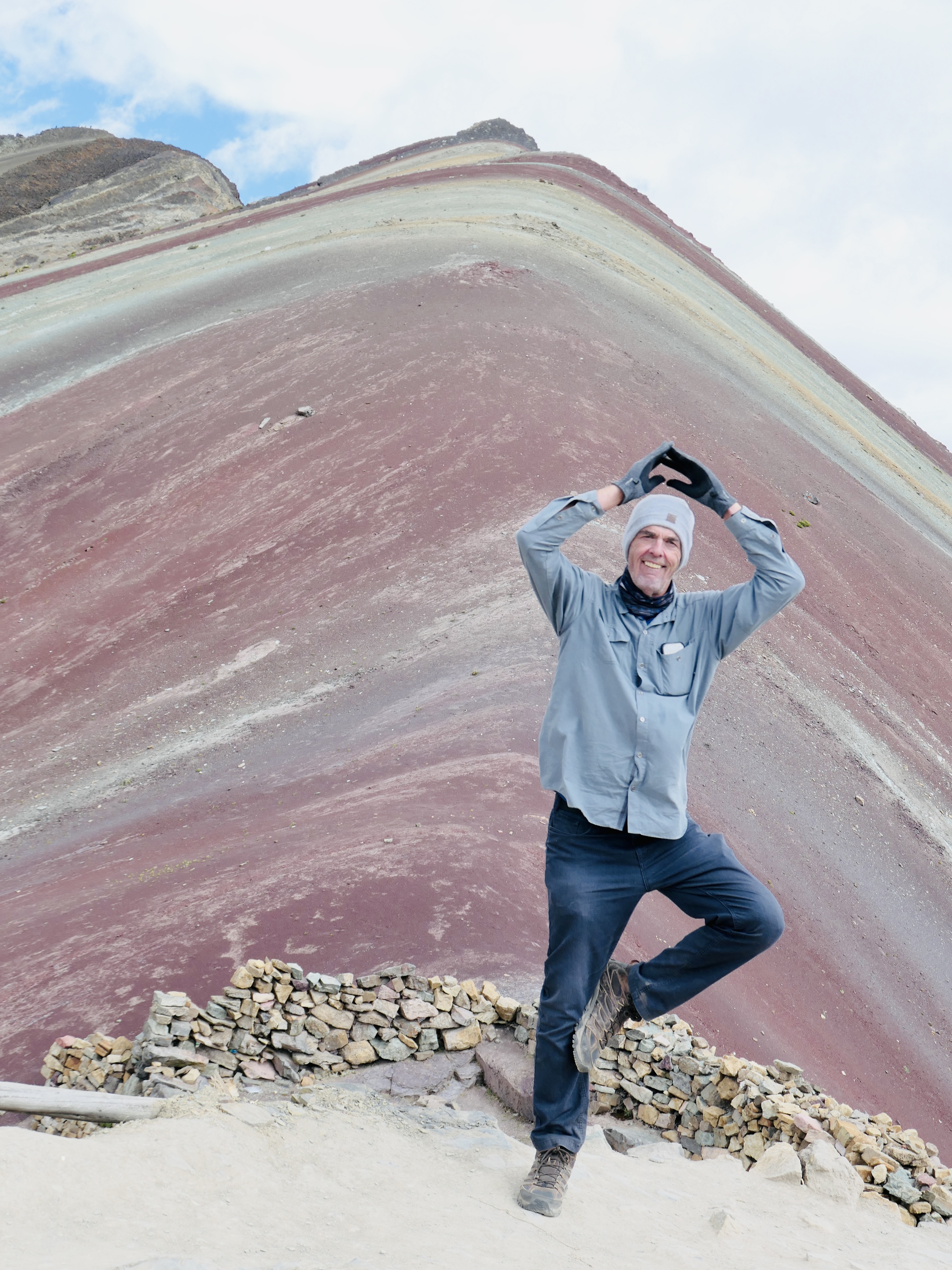
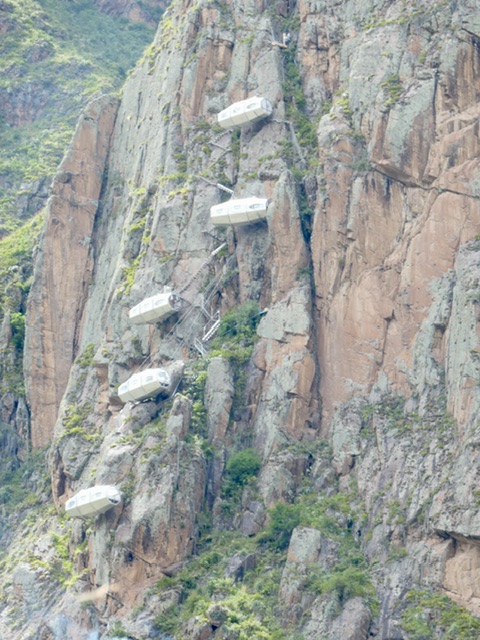
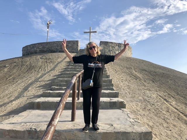
Vinicunca (Rainbow Mountain)
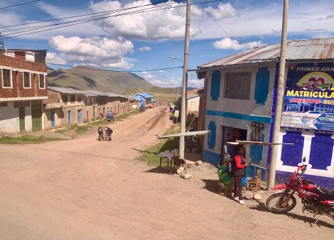
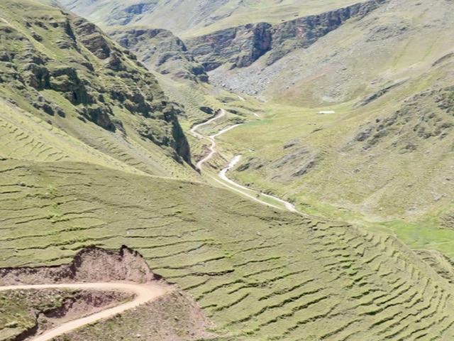
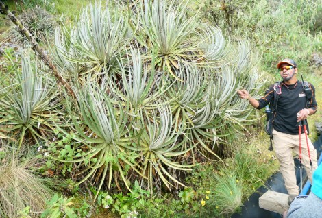
K managed to locate a private driver to take us to Rainbow Mountain at a reasonable hour (tour groups leave at 3:30 or 4:00 am !). It is a an almost 4-hour drive each way, on narrow winding mountain ‘roads’ and through small, rural communities and beautiful valleys. As a college-trained and seasoned tour guide, our driver proved to be a wealth of knowledge about the area and the Quechua people.
It was an approximately 90-minute hike to the viewpoint, at 5,200 M elevation. Not a great distance, but slow walking due to thin air. The bonus of going later was that the tour groups had left and the vendors were slowly packing down for the day.
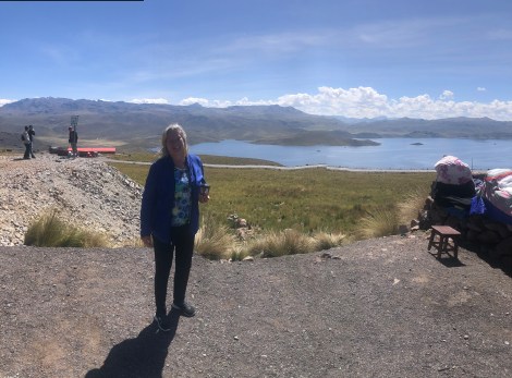
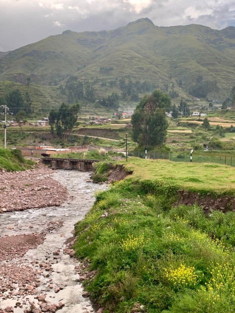
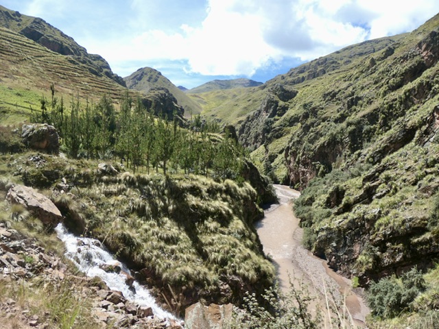
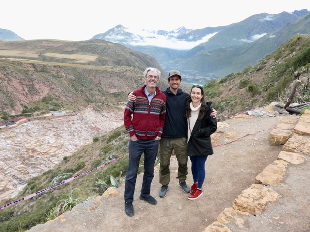
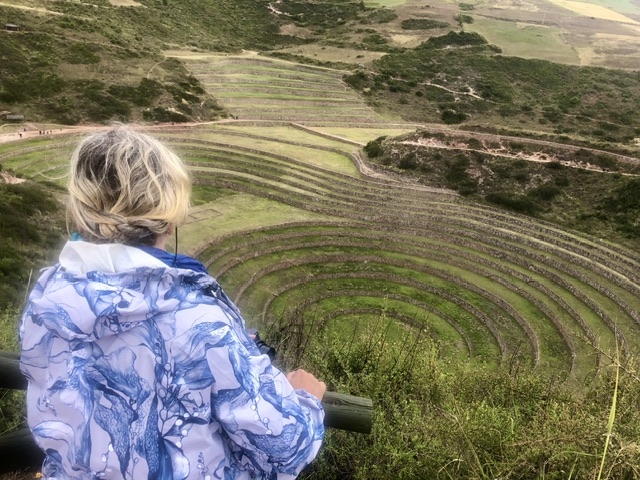
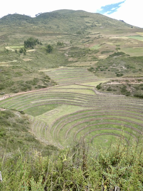
Sacred Valley
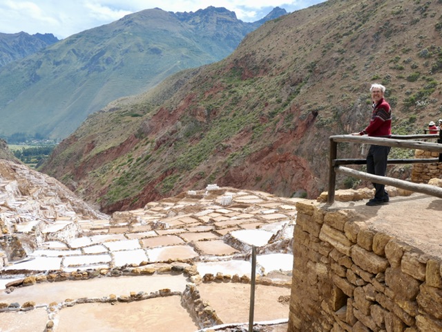
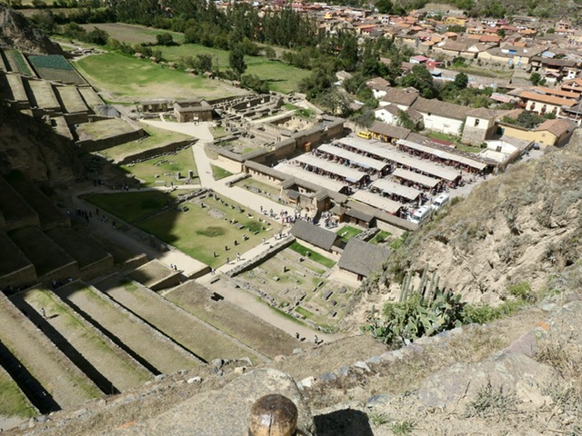
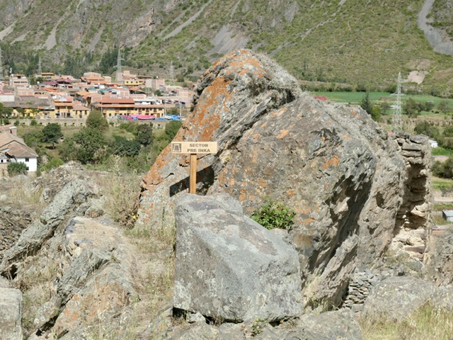
We used the same driver to take us to 3 historic Incan sites in the Sacred Valley.
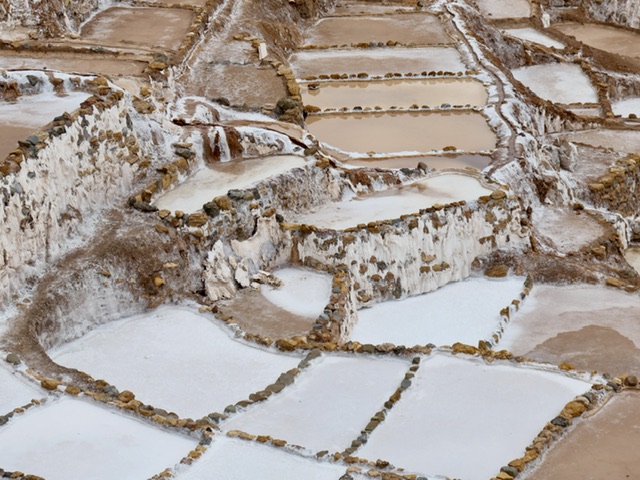
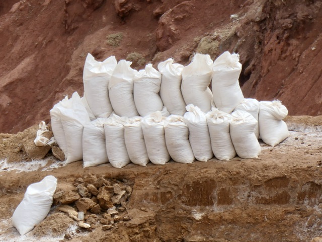
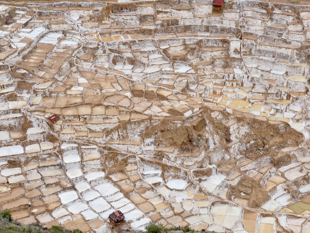
MarasSaltMines: over 6,000 salt ponds continually mined by local families, pre-dating the Incas
Maray (Archeological Site): used as an agricultural laboratory
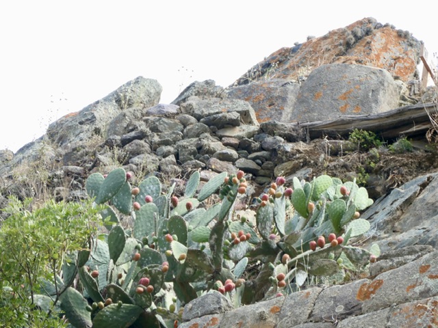
Ollantaytambo: city with the remains of a massive Incan fortress. Once again, we had a little high elevation climbing as pre-trek practice.
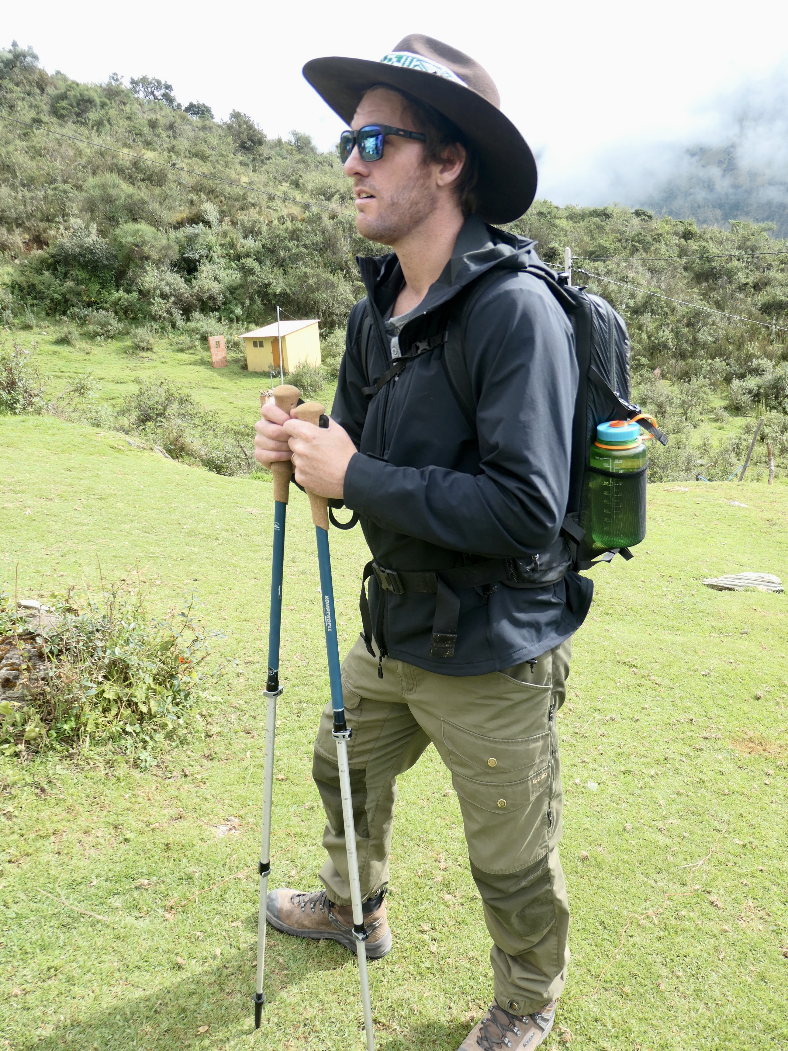
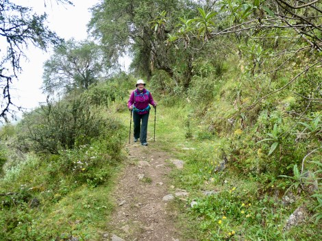
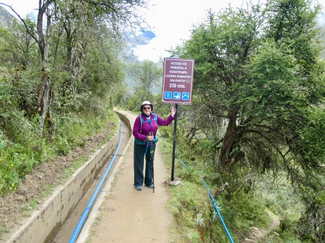
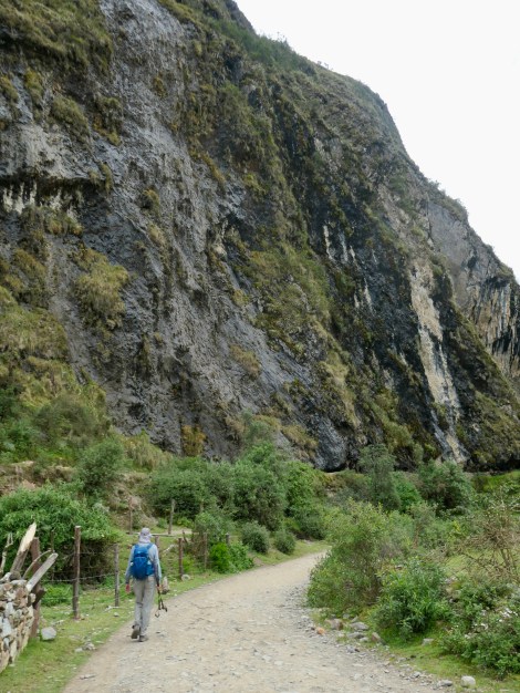
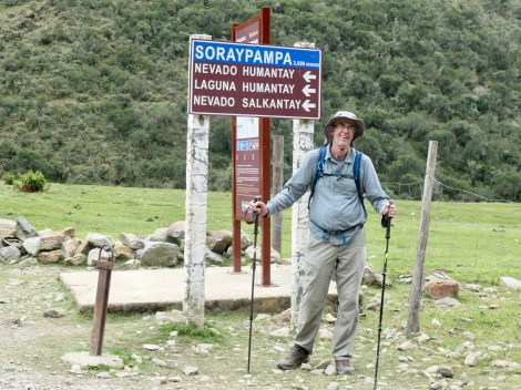
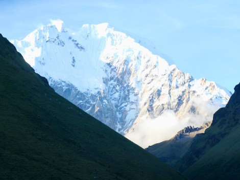
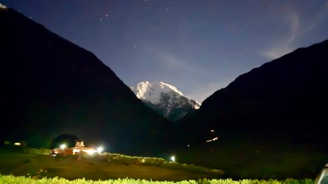
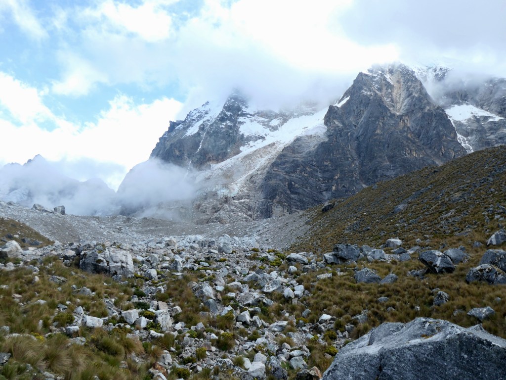
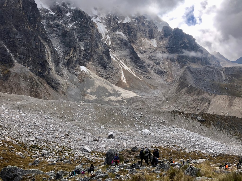
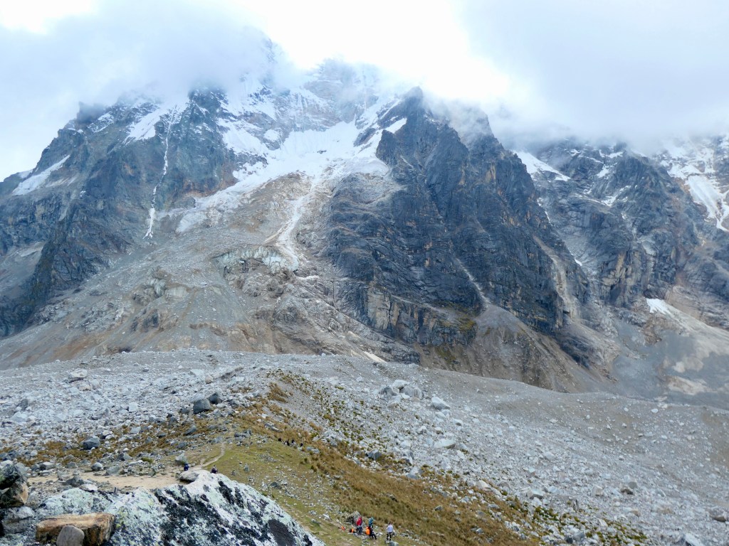
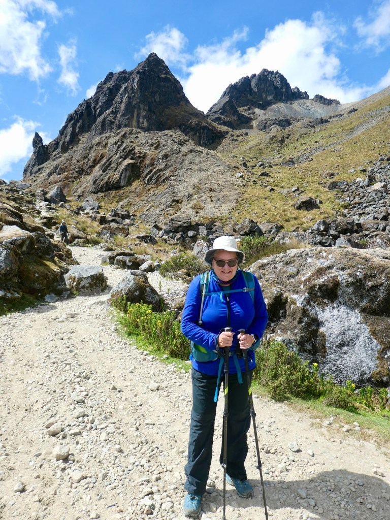
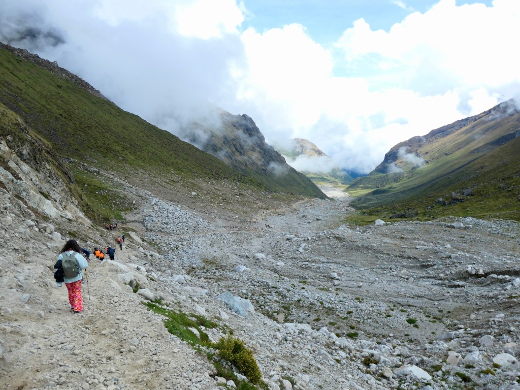
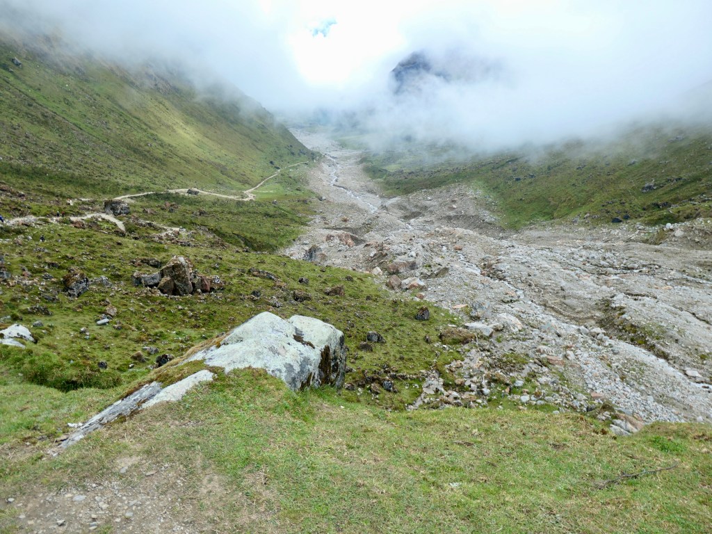
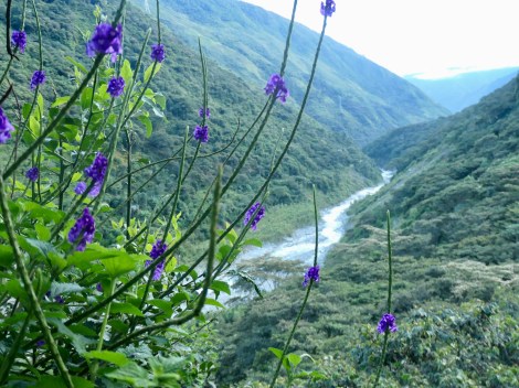
Salkantay Trek
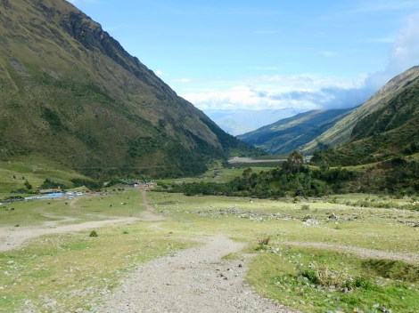
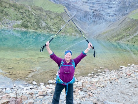
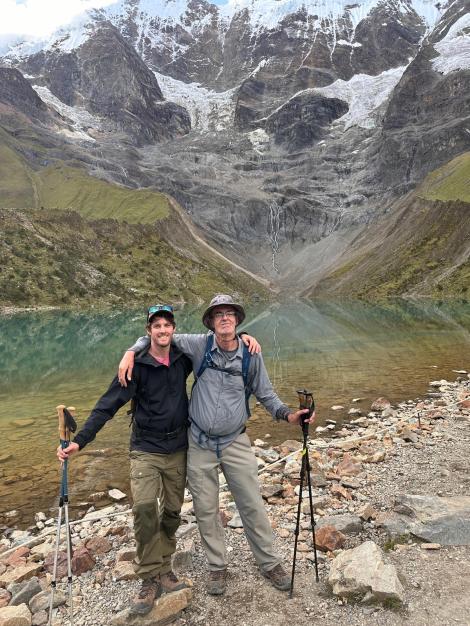
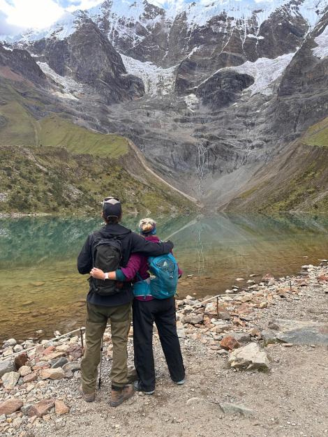
Day1: Bright-eyed & bushy-tailed excitement at the start of a 7 km uphill trek to Sky Camp at Soraypampa, plus a 3km return climb to Humantay Lake, from 3800m to 4200m elevation. The night and next morning were very cold, where we slept in sleeping bags with a fleece liner, plus a heavy duvet, and toques.
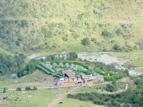
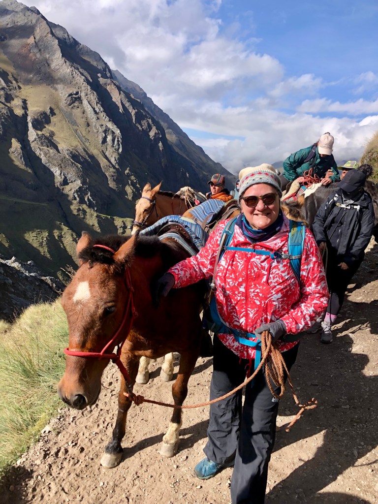
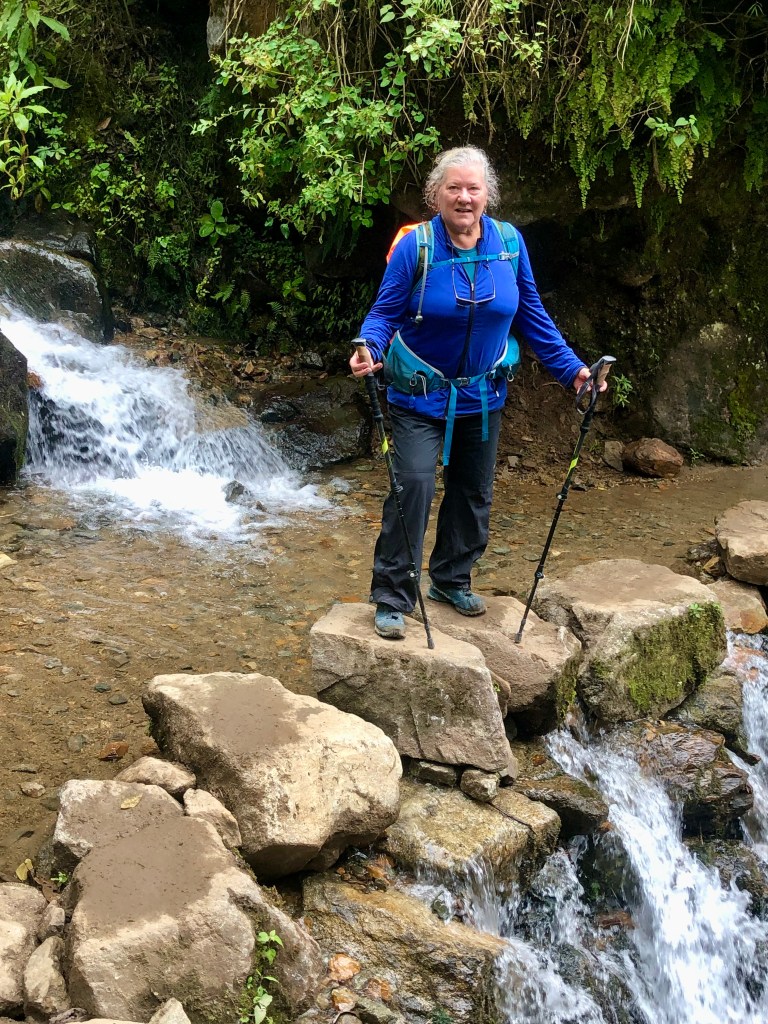
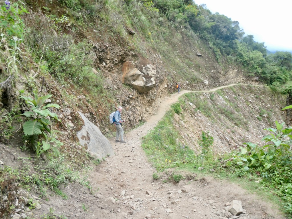
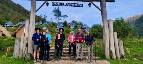
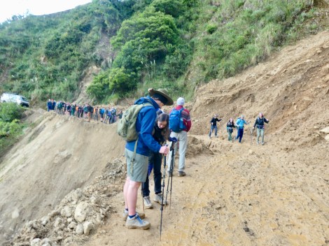
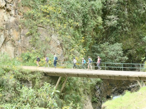
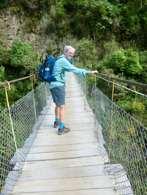
Day2: A very challenging 25km trek through the Salkantay Pass at 4630m elevation; some of us used the horse option for the first 6 km which made the looong, loose-rocked downhill stretch bearable, ending at Mountain Sky View dome cabins, in Collpapamba @ 2950m elevation (a treat with hot showers ensuite & real bed linens).
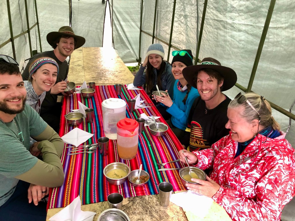
A shout-out to the horses who port all the food, fuel, our duffel bags, sleeping bags, and garbage across the Salkantay pass from one camp to another every day.
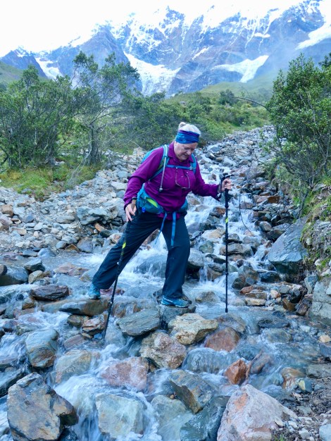
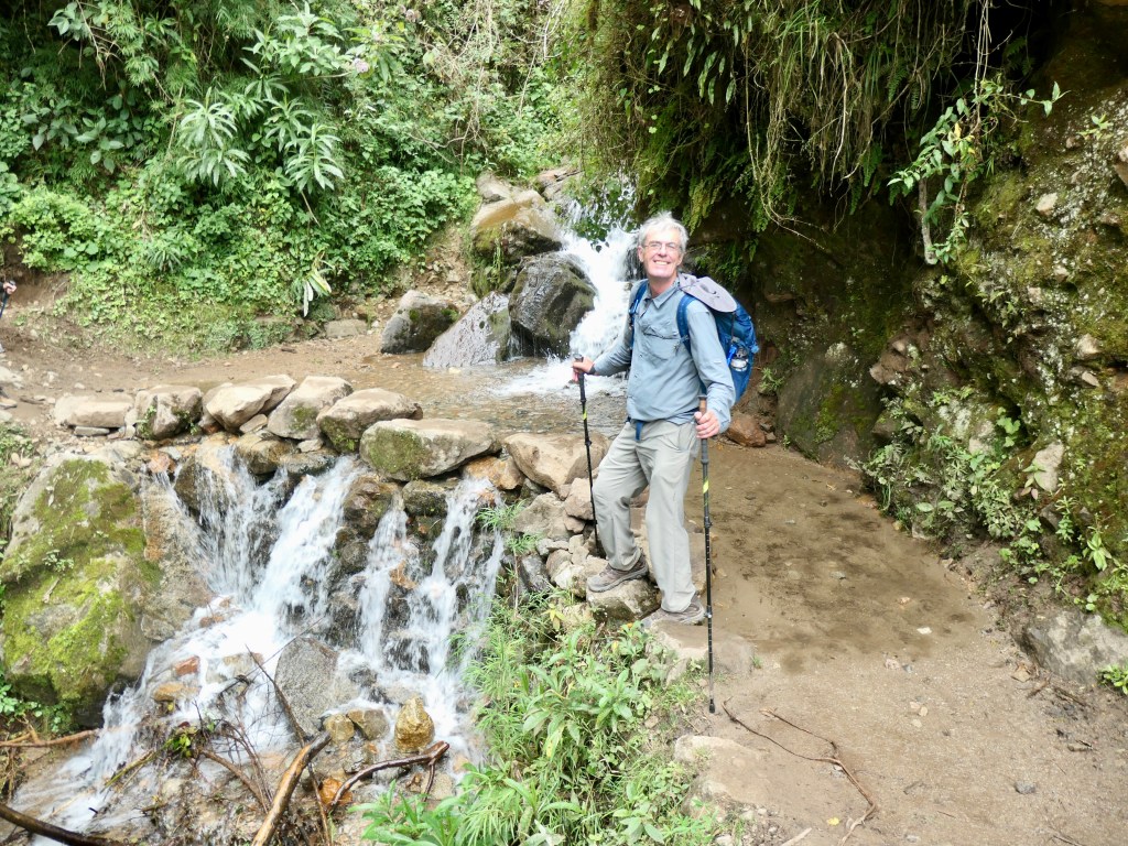
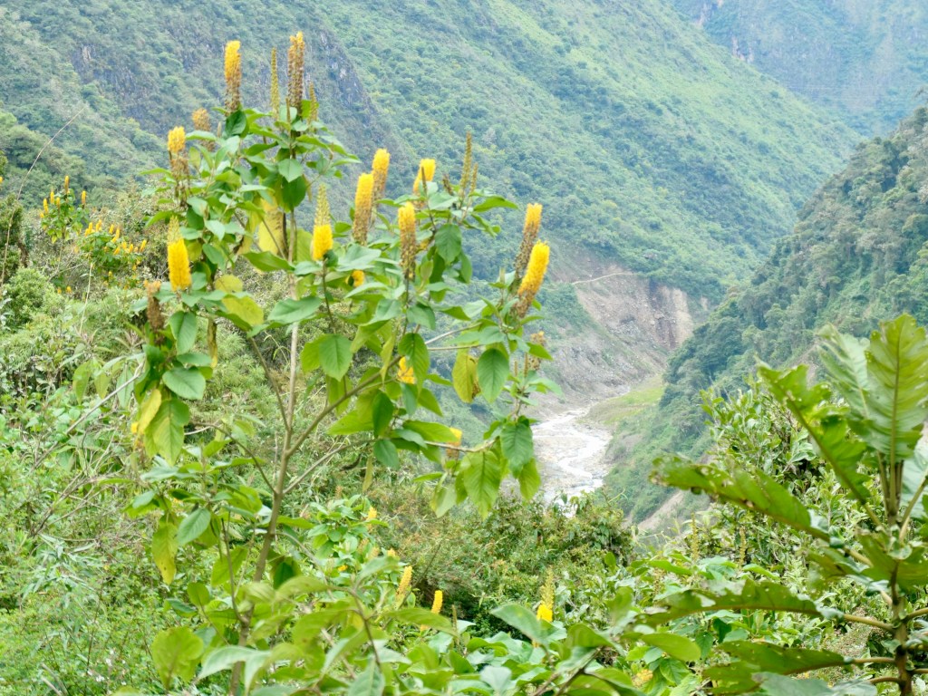
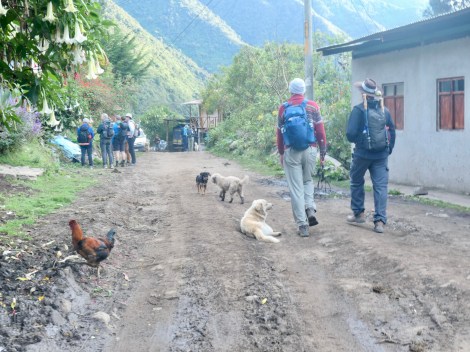
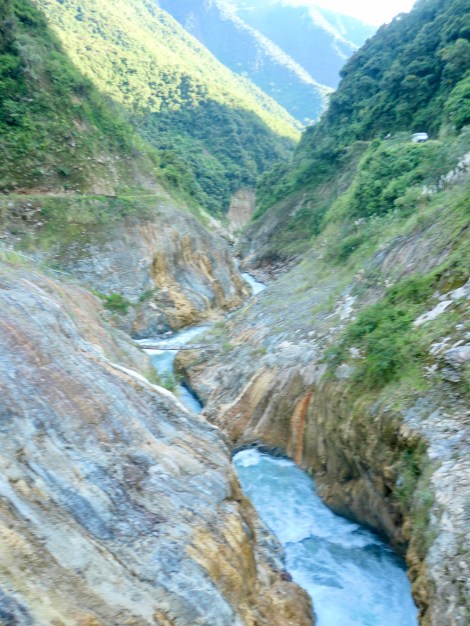
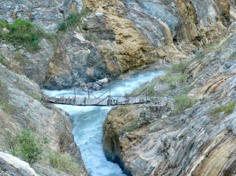
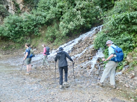
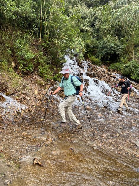
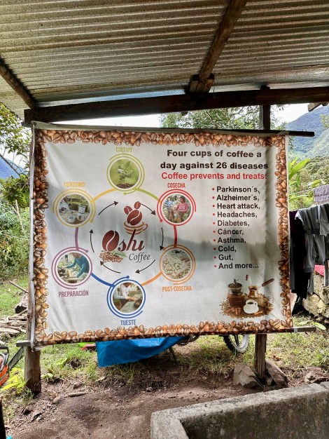
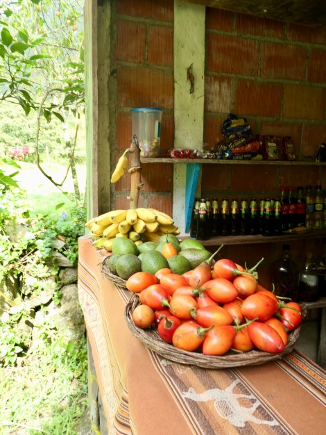
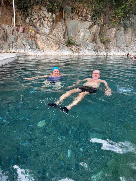
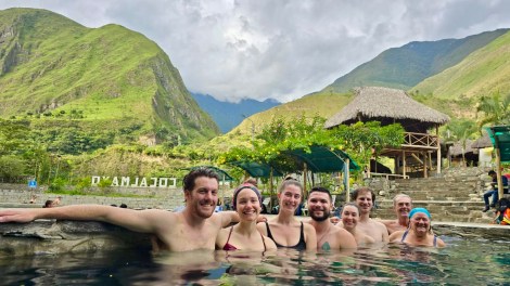
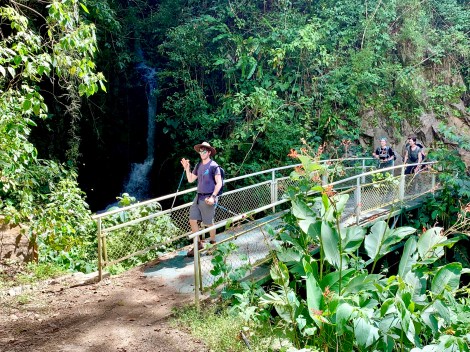
Day3: Having descended into the high jungle the previous afternoon, this was a moderate 18 km trek that included mud, river crossings, fruit farms, a coffee plantation, and in the afternoon, a shaky drive to lovely hot springs at Cocalmayo, about 90 minutes away. We stayed in Lucmabamba Jungle Domes (2000m elevation).
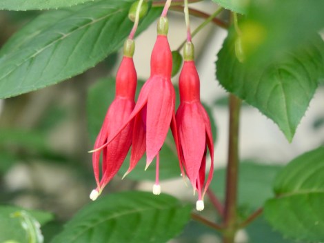
Face painting in Amazon tradition
Seeds of fuchsia provided the face paint
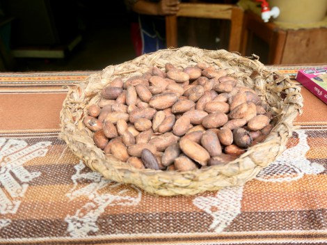
Cacao beans
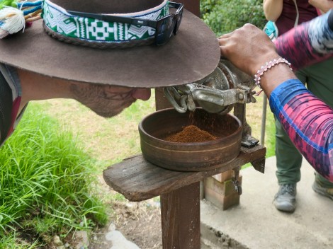
Coffee cherries
Jungle Domes
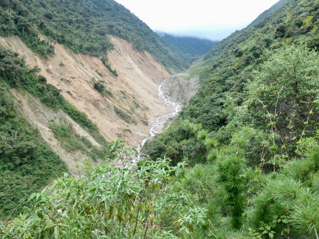
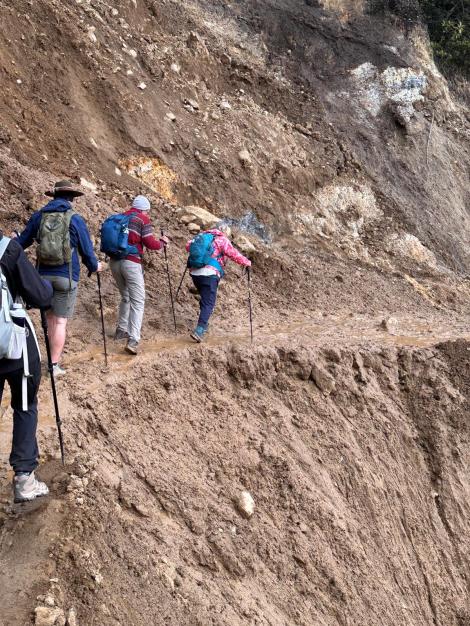
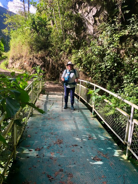
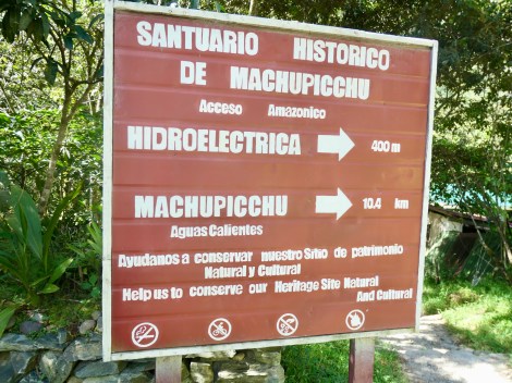
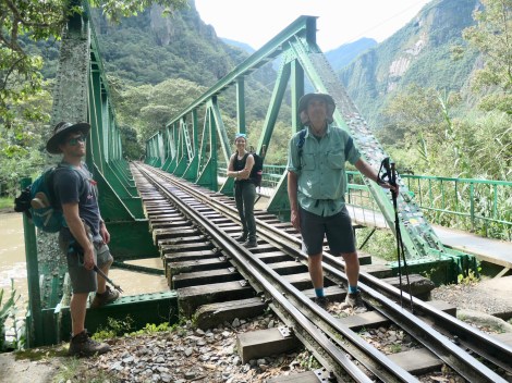
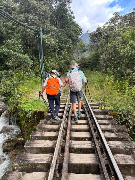
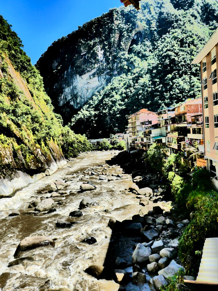
Day4: The original plan called for a 15km trek through the Llactapata Pass (2800m) and down to Hidroelectrica where we would catch the train to Aguas Calientes (and our hotel). The recent landslides eliminated the train so we would have to hike the additional 12km. The pass was also risky due to potentially slippery mud sections on the downhill. S & M, in the quest to avoid injury, used the bus option to get us past this section to our rendezvous point at Aobamba. E & K chose to hike the pass.
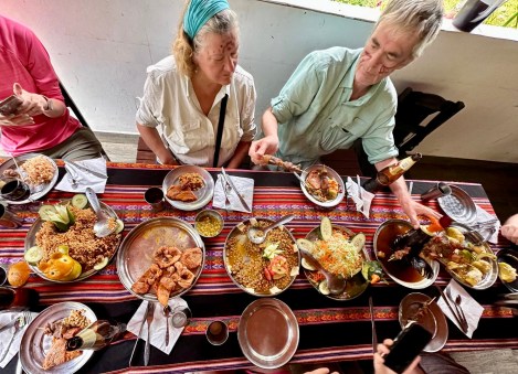
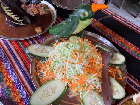
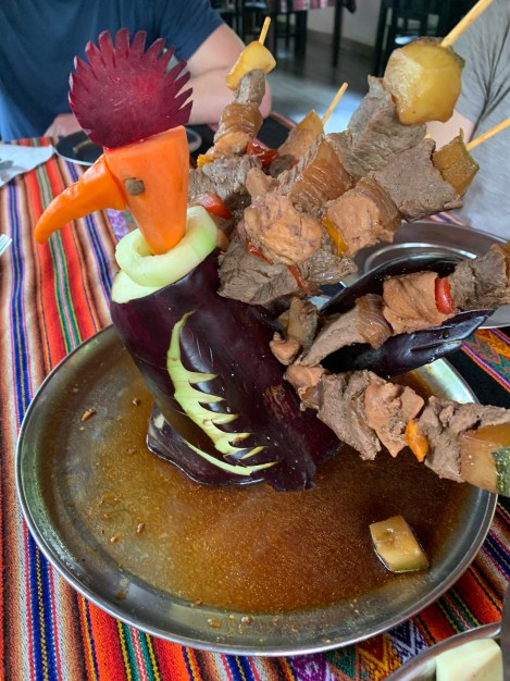
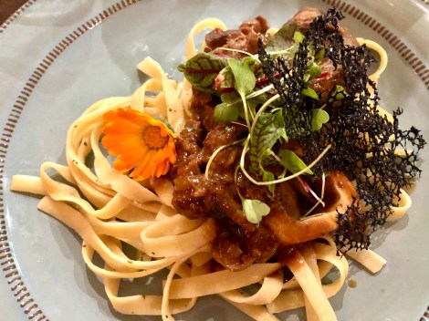
Seafood stuffed avocado
Trout & salad
Osso bucco
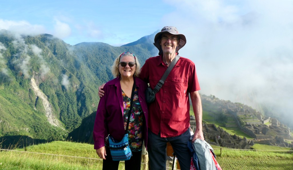
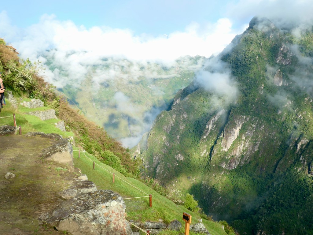
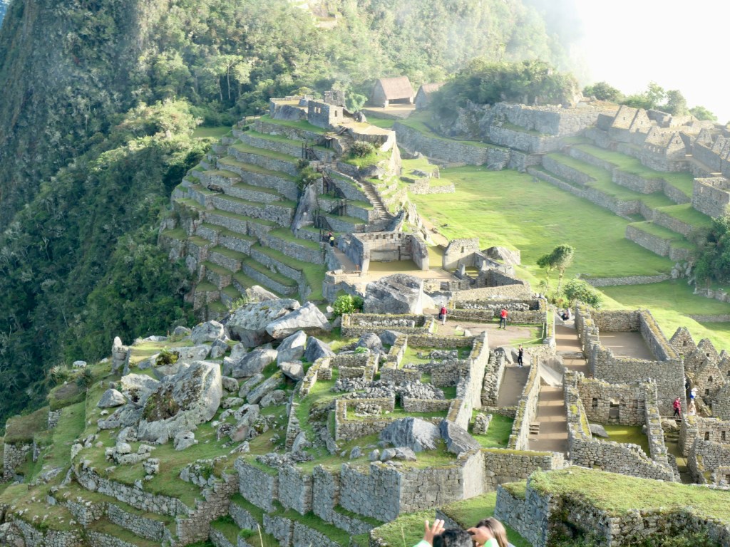
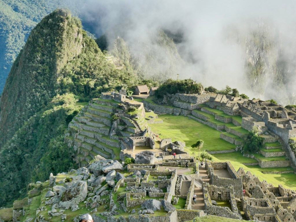
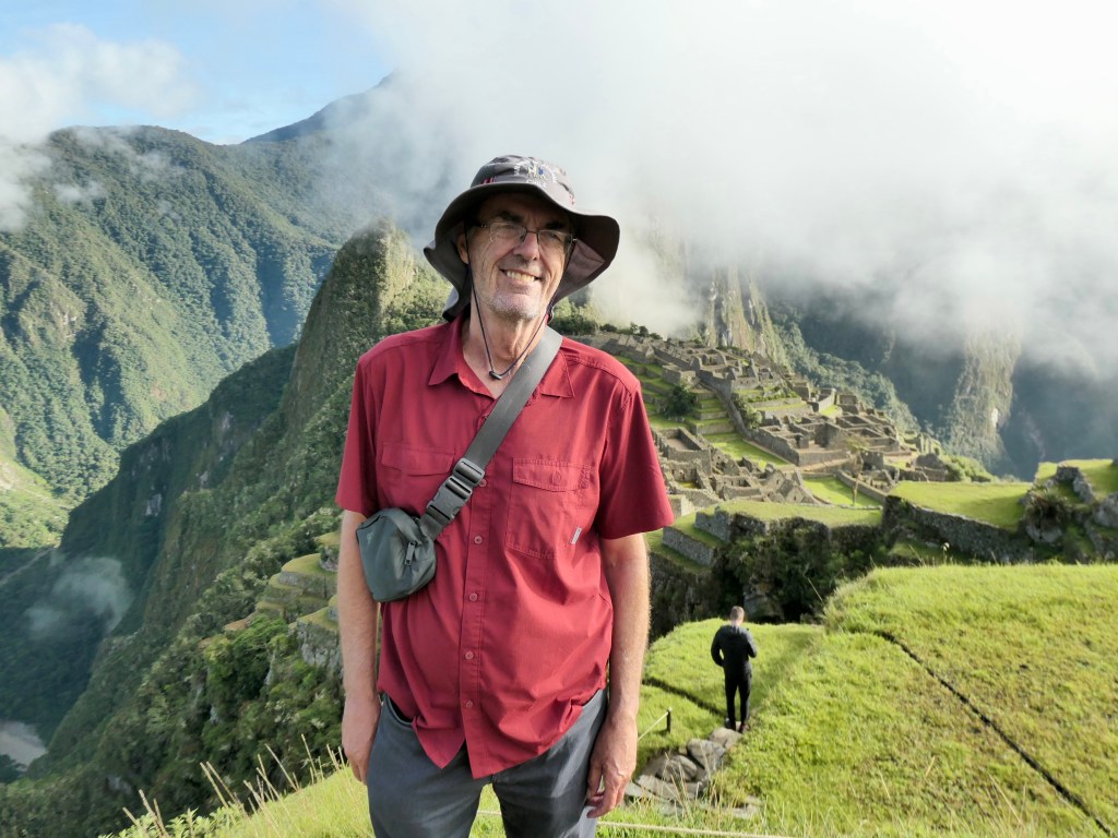
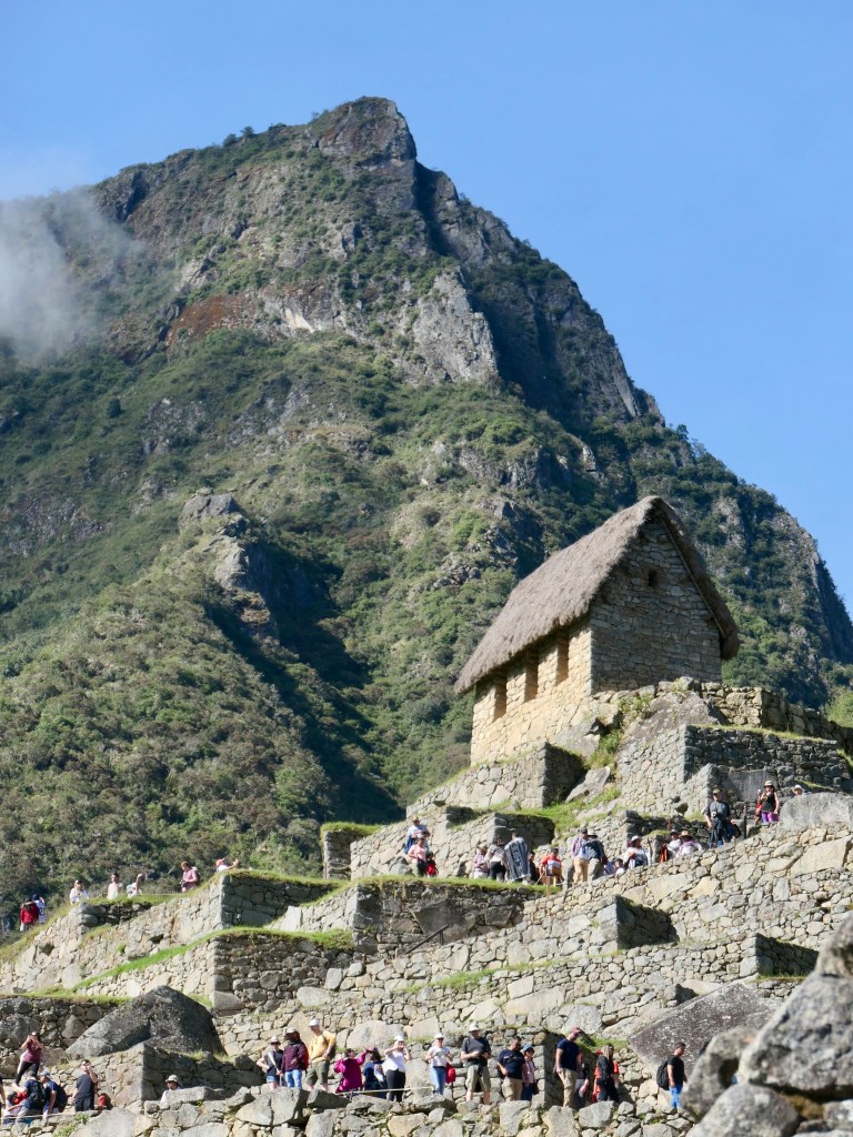
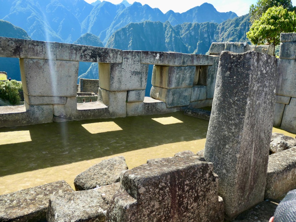
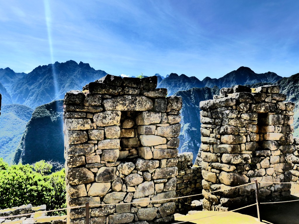
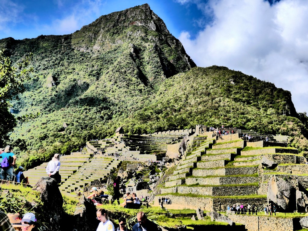
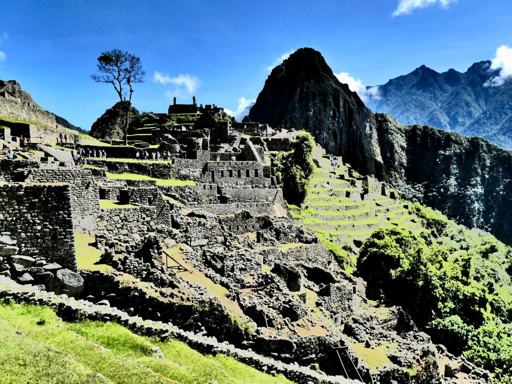
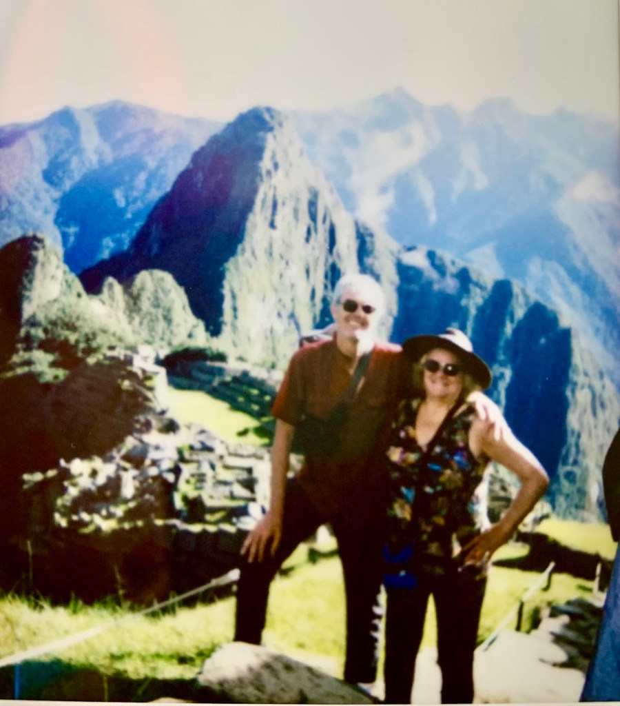
Day5: Machu Picchu !
A half-hour bus ride took our aching, tired bodies up to Machu Picchu for a 6 am sunrise. There, we spent 3 hours walking around this vast site, with our informative trekking guide. This was followed by a languid lunch in Aguas Calientes before taking a 1hr45min train to Ollantaytambo and a 3 hour drive back to Cusco (and our hotels).
Post Trek Note: This trek was the most difficult physical challenge we have ever completed. Given that we were both struggling with lingering head & chest colds, at high elevation, with extensive physical effort through varying terrain, we are especially proud of our success. Tears were shed at Humantay Lake, the Salkantay Pass, at the hotel in Aguas Calientes, at Machu Picchu, and many times in the days following as we reflected on this challenge. We are also very appreciative of having shared this experience with E & K, who were nothing short of inspiring in their own trek, as well as supportive & encouraging of us.
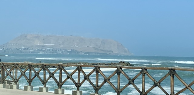
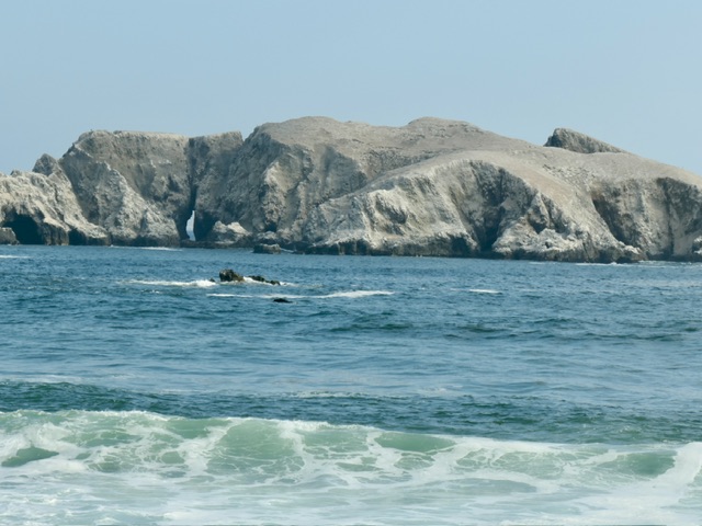
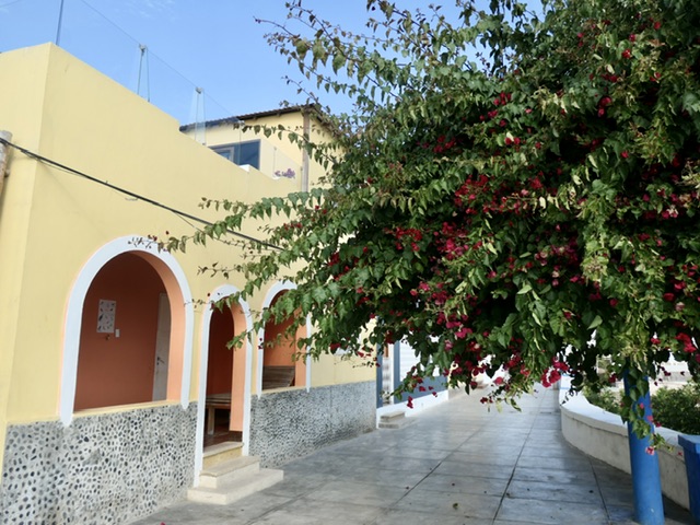
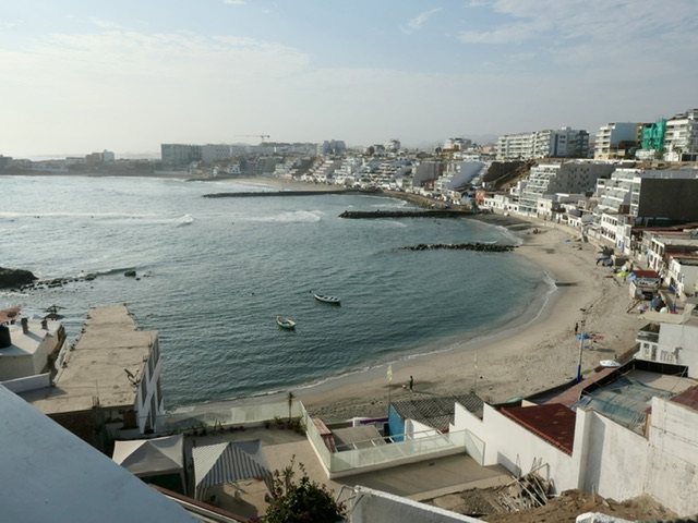
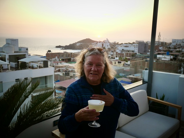
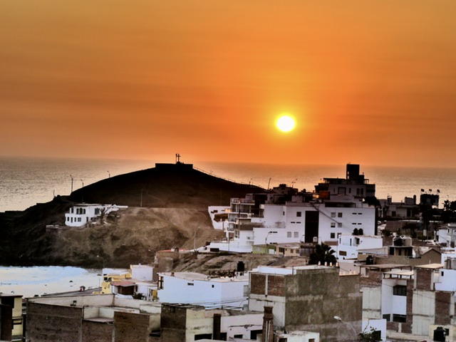
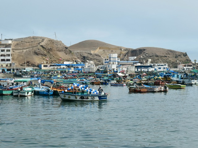
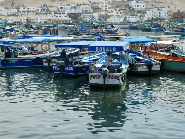
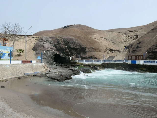
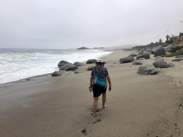
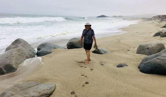
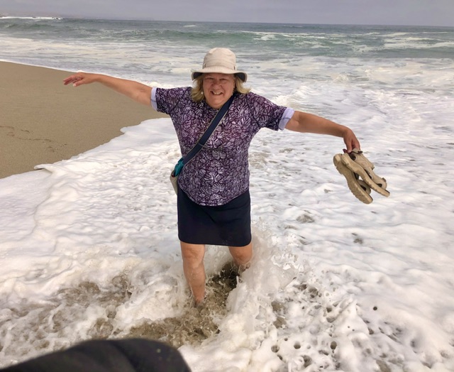
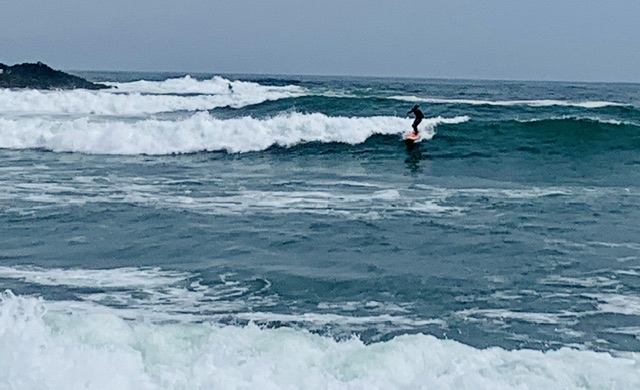
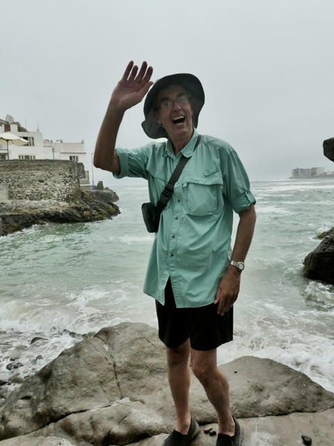
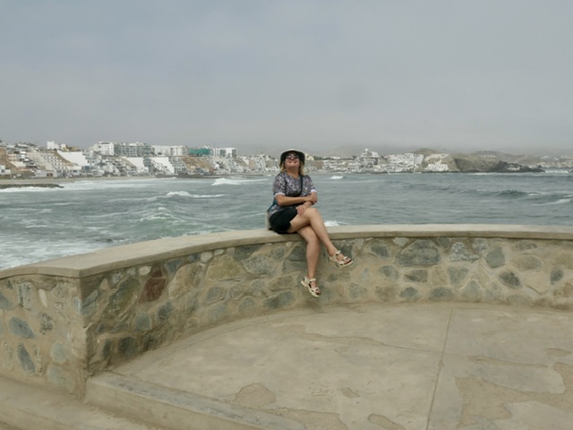
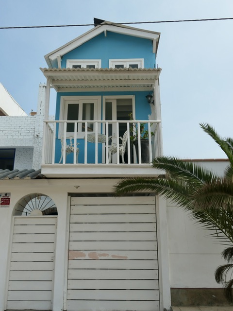
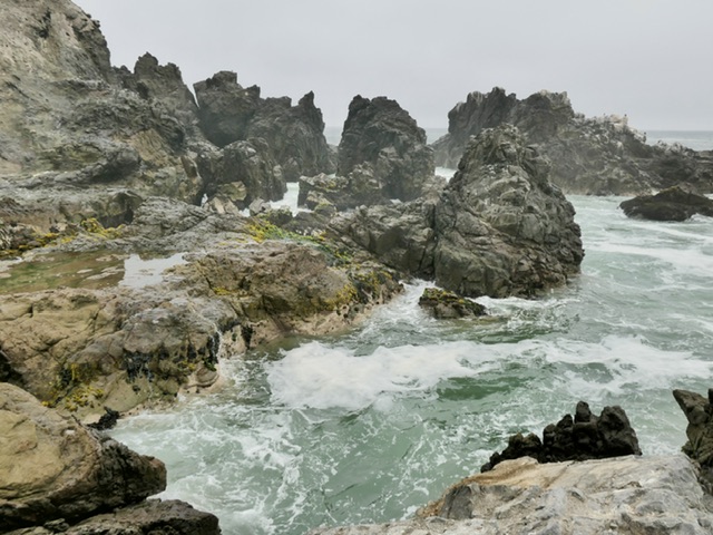
Coastal Retreat: San Bartolo
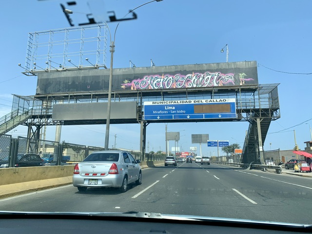
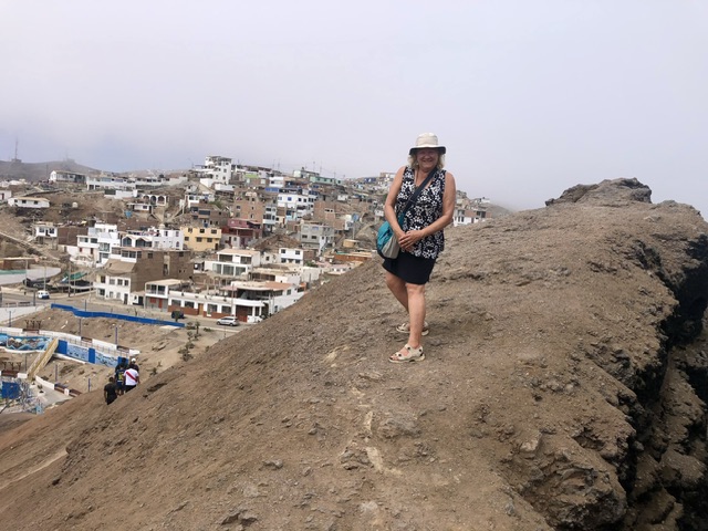
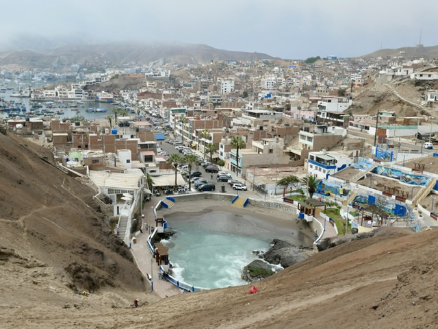
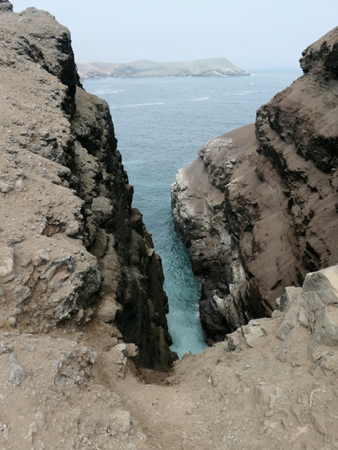
After an extra day in Cusco, where we all did a little shopping and were pampered at a spa (thank you, E & K !), we flew to Lima where we picked up a rental car and navigated our way out of the crazy driving that is Lima to a quiet coastal town about 90 minutes south. We spent 3 days walking around the local bays of San Bartolo, the surfer’s beach at Punta Negra, and climbing the hills around Pucusana while enjoying local seafood.
SanBartolo (pop ~ 9500)
Pucusana (pop ~ 18,000)
PuntaNegra (pop ~ 9,000)
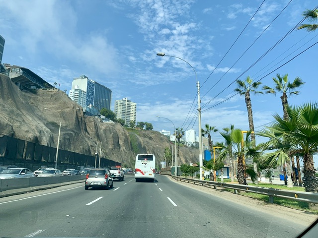
Lima
We spent our last day & a half in Lima. We went to an outlet mall (somewhat disappointing), walked around Kennedy Park to find some dinner without the booming music that is ubiquitous in touristic areas (unsuccessful), found a local, sophisticated café on a side street, walked 13 km through mixed-income neighbourhoods from the car rental drop-off in Miraflores to the Larco Museum, and enjoyed a couple of hours in the airport lounge before the first (overnight) flight of the 3 legs over 2.5 days to get home.
Lima City
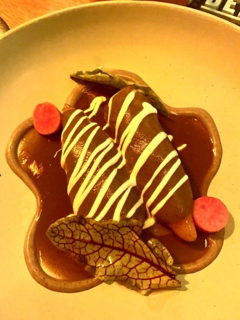
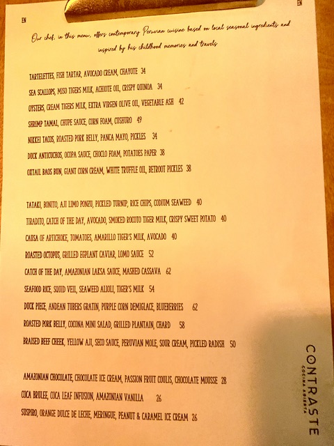
A wonderful ‘last meal’
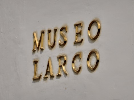
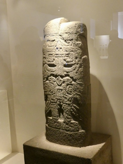
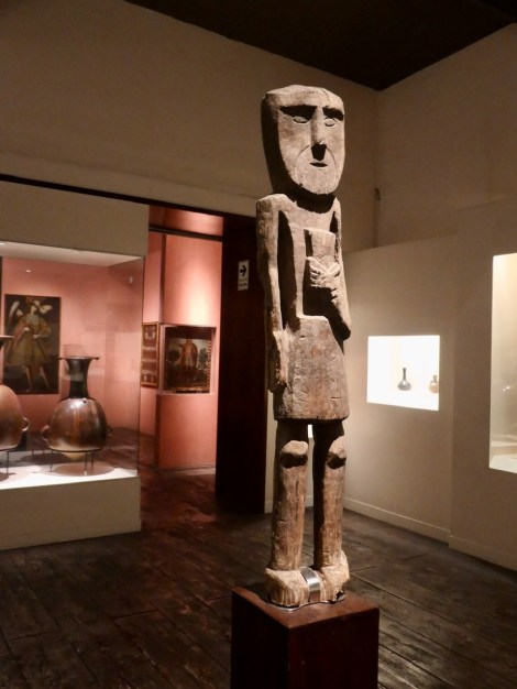
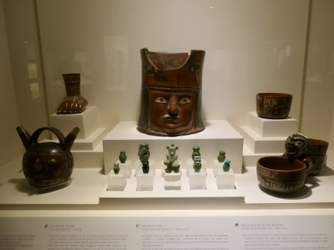
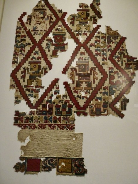
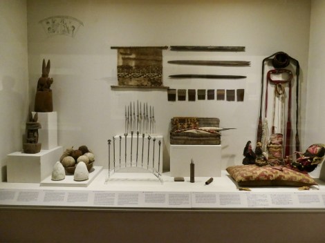
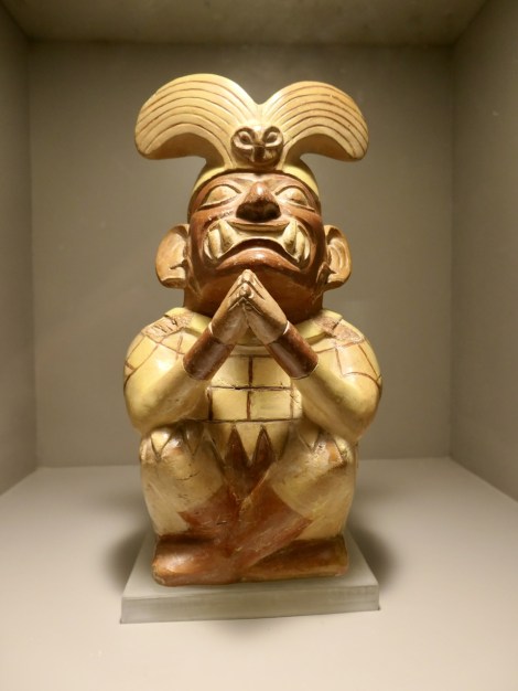
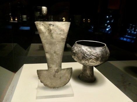
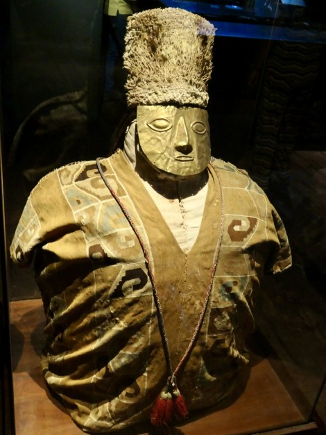
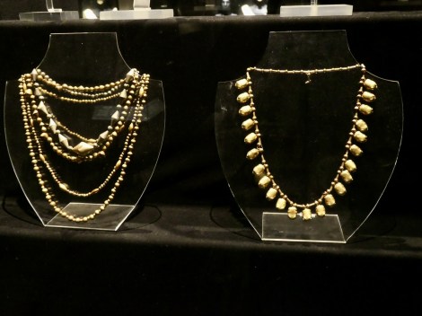
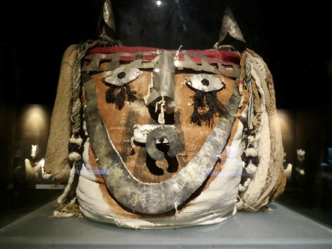
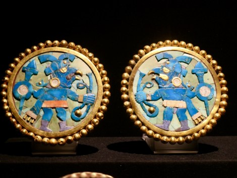
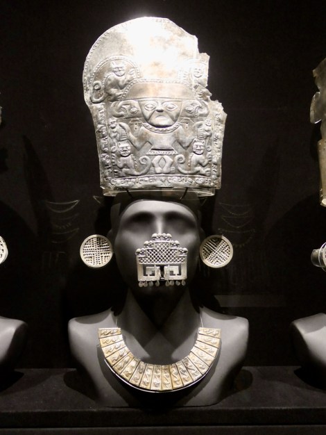
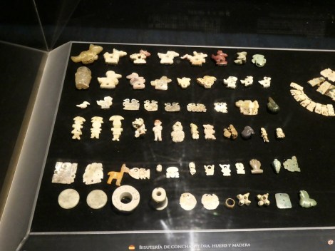
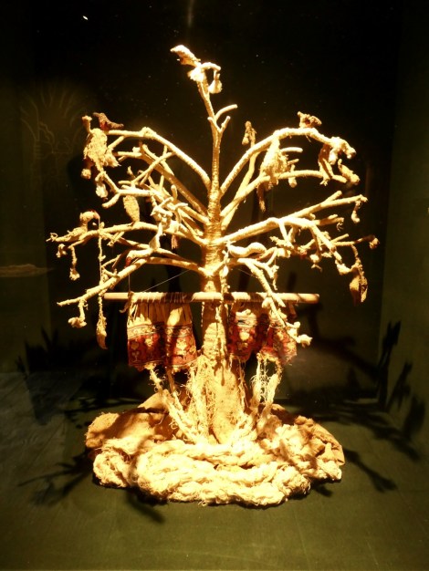
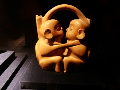
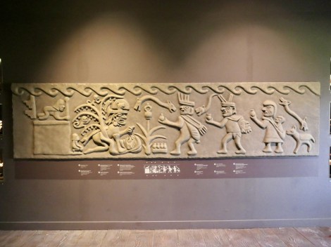
LarcoMuseum (pre-Columbian)
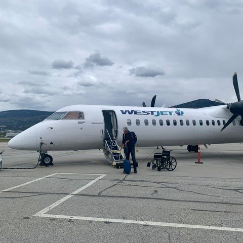
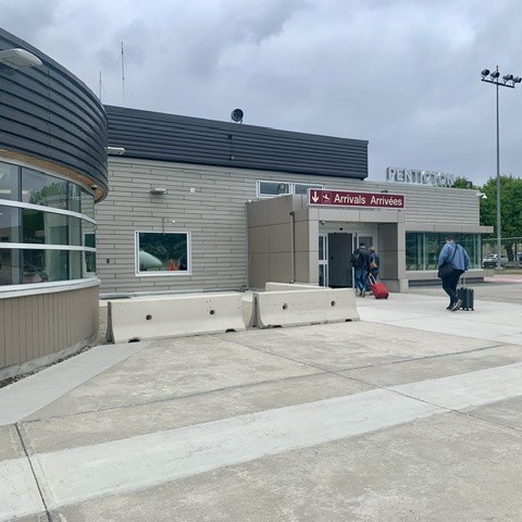
Homeward Bound
ArrivingHome: 16 weeks after leaving during the ‘big cold’!


<
div dir=”ltr”>Wonderful journey, experience and gre